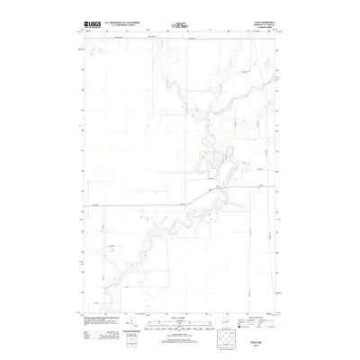
2013 Map of Casco
USGS Topo · Published 2013About this map
The Saint Louis River carves a winding, serpentine path through this pocket of Saint Louis County, joined by its tributaries including E Two River and W Two River. This 2013 topographic survey captures the area's transition between wetlands and a structured rural grid, where roads like Town Line Rd and McDavitt Rd delineate long-established property boundaries. A focal point for local history and genealogy is the Zim Cem located near the intersection of Zim Rd and Oxbow Rd. The map illustrates how human settlement has adapted to the water-dominated landscape, with developments such as Mobraten Dr and George Rd navigating around the river's tight oxbows and the small drainage of Elbow Cr.
Find a feature on this map
19 named features on this map. Tap any name to fly to it.
Don’t see what you’re looking for? This feature index may not catch every label — zoom into the map to look around manually.
Map Details
Editions of this 2013 Casco Map
This is the sole edition of this map. No revisions or reprints were ever made.
Other maps of this area

1951 · Eveleth
USGS Topo · 1:24,000

1951 · Kirk
USGS Topo · 1:24,000

1951 · Zim
USGS Topo · 1:24,000

1951 · Casco
USGS Topo · 1:24,000

1951 · Buhl
USGS Topo · 1:24,000

1952 · Little Swan
USGS Topo · 1:24,000

1954 · Hibbing
USGS Topo · 1:250,000

1957 · Hibbing
USGS Topo · 1:250,000

1958 · Hibbing
USGS Topo · 1:250,000

1963 · Meadowlands NW
USGS Topo · 1:24,000