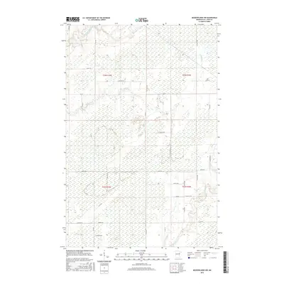
2016 Map of Meadowlands NW
USGS Topo · Published 2016About this map
The Whiteface River and Saint Louis River define the drainage and hydrology of this northern Minnesota landscape, where sprawling wetlands are intersected by a grid of rural roads and township lines. This 2016 survey captures a region characterized by low-lying terrain and riparian corridors, including the meandering path of Stony Cr. The infrastructure consists of a network of county and township roads, such as Arkola Rd and Co Hwy 29, which facilitate movement between scattered homesteads and timber stands. The map details the Public Land Survey System divisions, including sections within t55n r19w and t54n r18w, providing a precise look at property boundaries and land management in Saint Louis County. This layout illustrates the transition from riverine environments to the managed forest and agricultural plots that dot the area.
Find a feature on this map
36 named features on this map. Tap any name to fly to it.
Don’t see what you’re looking for? This feature index may not catch every label — zoom into the map to look around manually.
Map Details
Editions of this 2016 Meadowlands NW Map
This is the sole edition of this map. No revisions or reprints were ever made.
Other maps of this area

1951 · Zim
USGS Topo · 1:24,000

1951 · Casco
USGS Topo · 1:24,000

1952 · Little Swan
USGS Topo · 1:24,000

1953 · Payne
USGS Topo · 1:24,000

1954 · Hibbing
USGS Topo · 1:250,000

1957 · Hibbing
USGS Topo · 1:250,000

1958 · Hibbing
USGS Topo · 1:250,000

1963 · Elmer
USGS Topo · 1:24,000

1963 · Meadowlands NW
USGS Topo · 1:24,000
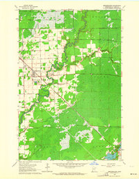
1963 · Meadowlands
USGS Topo · 1:24,000