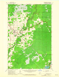
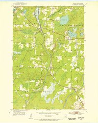
1963 Map of Meadowlands
USGS Topo · Published 1964About this map
The Whiteface River snakes through the center of this St. Louis County landscape, defining the character of the Meadowlands region during the early 1960s. The village of Meadowlands serves as the primary hub, where the Duluth Missabe and Iron Range railroad angles through the township toward the Iron Range. This industrial corridor is further marked by several Gravel Pits and the Witti Memorial Airport, reflecting the local infrastructure supporting the area's transport and extraction needs.
Find a feature on this map
21 named features on this map. Tap any name to fly to it.
Don’t see what you’re looking for? This feature index may not catch every label — zoom into the map to look around manually.
Map Details
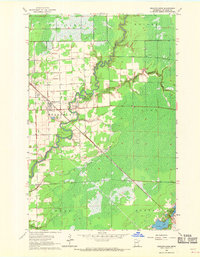
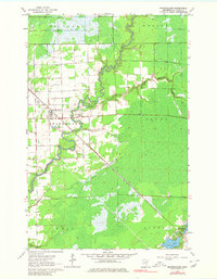
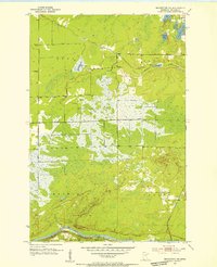
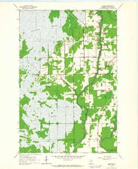
Editions of this 1963 Meadowlands Map
3 editions found
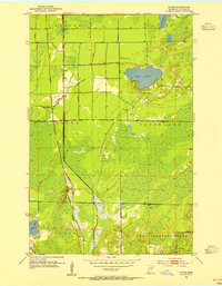
Other maps of this area
1953 · Payne
USGS Topo · 1:24,000
1953 · Alborn
USGS Topo · 1:24,000
1953 · Brookston NW
USGS Topo · 1:24,000

1953 · Duluth
USGS Topo · 1:250,000

1954 · Hibbing
USGS Topo · 1:250,000

1957 · Hibbing
USGS Topo · 1:250,000

1958 · Hibbing
USGS Topo · 1:250,000

1958 · Duluth
USGS Topo · 1:250,000
1963 · Elmer
USGS Topo · 1:24,000
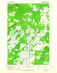
1963 · Meadowlands NW
USGS Topo · 1:24,000