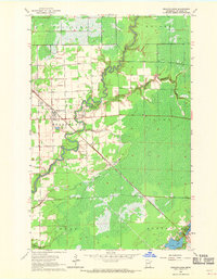
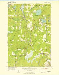
1963 Map of Meadowlands
USGS Topo · Published 1969About this map
The Whiteface River meanders sharply through this St. Louis County landscape, defining the character of the Meadowlands region in the early 1960s. The settlement of Meadowlands serves as the local hub, characterized by its grid of streets and proximity to the Wittig Memorial Airport. The map documents a transition between organized agriculture and the extensive wetlands of northern Minnesota, with township boundaries like Toivola, Kelsey, and Ness carving up the wooded terrain. Industrial and transport activity is anchored by the Duluth Missabe and Iron Range railroad, which cuts a straight diagonal across the map toward the Iron Range. To the southeast, the terrain shifts toward more open water and recreational features, including Aerie Lake and Maple Leaf Lake, while scattered Gravel Pits indicate local resource extraction during this era.
Find a feature on this map
18 named features on this map. Tap any name to fly to it.
Don’t see what you’re looking for? This feature index may not catch every label — zoom into the map to look around manually.
Map Details
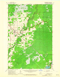
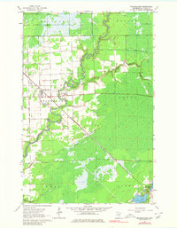
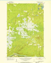
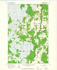
Editions of this 1963 Meadowlands Map
3 editions found
Other maps of this area
1953 · Payne
USGS Topo · 1:24,000
1953 · Alborn
USGS Topo · 1:24,000
1953 · Brookston NW
USGS Topo · 1:24,000

1953 · Duluth
USGS Topo · 1:250,000

1954 · Hibbing
USGS Topo · 1:250,000

1957 · Hibbing
USGS Topo · 1:250,000

1958 · Hibbing
USGS Topo · 1:250,000

1958 · Duluth
USGS Topo · 1:250,000
1963 · Elmer
USGS Topo · 1:24,000
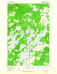
1963 · Meadowlands NW
USGS Topo · 1:24,000