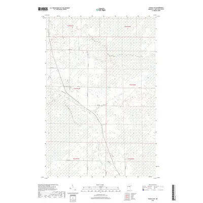
2019 Map of Toivola SW
USGS Topo · Published 2019About this map
The Toivola Swamp dominates this landscape in Saint Louis County, illustrating the vast wetland environments of northeastern Minnesota. The Floodwood River snakes through the southern sections of the map, fed by smaller tributaries including Vaara Cr and Joula Cr. This 2019 survey documents a sparsely populated area where the human footprint is primarily defined by a network of local roads such as Cedar Valley Rd, Romanek Rd, and Eagle Rd. The township and range lines, including t53n r21w and t52n r20w, provide a structured grid over the largely undeveloped terrain. Local connectivity is maintained via Co Rd 133 and Hwy 133, which cut across the marshy lowlands, connecting isolated points of activity within the larger swamp system.
Find a feature on this map
21 named features on this map. Tap any name to fly to it.
Don’t see what you’re looking for? This feature index may not catch every label — zoom into the map to look around manually.
Map Details
Editions of this 2019 Toivola SW Map
This is the sole edition of this map. No revisions or reprints were ever made.
Other maps of this area
1953 · Duluth
USGS Topo · 1:250,000
1954 · Hibbing
USGS Topo · 1:250,000
1957 · Hibbing
USGS Topo · 1:250,000
1958 · Hibbing
USGS Topo · 1:250,000
1958 · Duluth
USGS Topo · 1:250,000
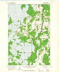
1963 · Elmer
USGS Topo · 1:24,000
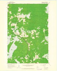
1963 · Toivola SW
USGS Topo · 1:24,000
1963 · Upstead Lake
USGS Topo · 1:24,000
1963 · Mc Carty River
USGS Topo · 1:24,000
1963 · Toivola
USGS Topo · 1:24,000