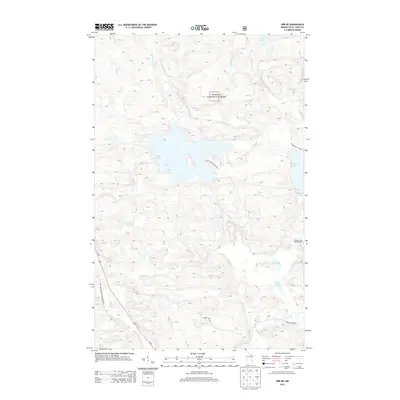
2013 Map of Orr NE
USGS Topo · Published 2013About this map
Superior National Forest defines the character of this northeastern Minnesota landscape, where a complex network of waterways and glacial lakes dominates the terrain. At the center of this 2013 survey lies Black Duck Lake, fed by the winding Black Duck River and Paun Cr. The map captures the infrastructure of the timber and recreation economy, featuring the Elephant Lake Lookout Tower perched near the eastern shore of Elephant Lake. These waters eventually feed into the Pelican River and Lost River systems, illustrating the intricate drainage patterns of the North Woods. Human activity is focused along corridors like Us-53 and various forest management routes, including Swan Lake Forest Management Rd and Forest Road 609, which provide access to seasonal camps and landing points such as Black Duck Beach Rd.
Find a feature on this map
19 named features on this map. Tap any name to fly to it.
Don’t see what you’re looking for? This feature index may not catch every label — zoom into the map to look around manually.
Map Details
Editions of this 2013 Orr NE Map
This is the sole edition of this map. No revisions or reprints were ever made.
Other maps of this area

1954 · International Falls
USGS Topo · 1:250,000

1957 · International Falls
USGS Topo · 1:250,000

1958 · International Falls
USGS Topo · 1:250,000
1967 · Marion Lake
USGS Topo · 1:24,000
1967 · Elephant Lake
USGS Topo · 1:24,000
1968 · Myrtle Lake
USGS Topo · 1:24,000
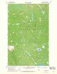
1968 · Ash River SE
USGS Topo · 1:24,000
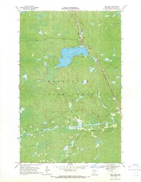
1968 · Ash Lake
USGS Topo · 1:24,000
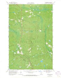
1968 · Ash River SW
USGS Topo · 1:24,000
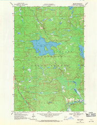
1968 · Orr NE
USGS Topo · 1:24,000