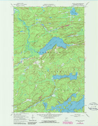
1968 Map of Myrtle Lake
USGS Topo · Published 1987About this map
Kabetogama State Forest dominates this northern Minnesota landscape, where a network of water and timber history is etched into the terrain. The presence of an Old Railroad Grade snaking across the northern sections points to the legacy of the logging era in St. Louis County. This survey detail includes bathymetry and soundings for several significant water bodies, notably Myrtle Lake and Elbow Lake, providing a clear view of the underwater topography and depths as they were recorded in the late 1960s.
Find a feature on this map
8 named features on this map. Tap any name to fly to it.
Don’t see what you’re looking for? This feature index may not catch every label — zoom into the map to look around manually.
Map Details
Editions of this 1968 Myrtle Lake Map
2 editions found
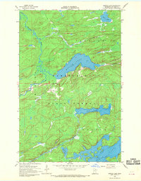
Other maps of this area

1954 · Hibbing
USGS Topo · 1:250,000

1954 · International Falls
USGS Topo · 1:250,000

1957 · Hibbing
USGS Topo · 1:250,000

1957 · International Falls
USGS Topo · 1:250,000

1958 · International Falls
USGS Topo · 1:250,000

1958 · Hibbing
USGS Topo · 1:250,000

1964 · Hibbing
USGS Topo · 1:250,000

1964 · Haley
USGS Topo · 1:24,000

1964 · Gheen
USGS Topo · 1:24,000
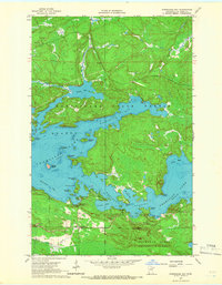
1964 · Norwegian Bay
USGS Topo · 1:24,000