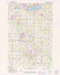
1953 Map of Adolph
USGS Topo · Published 1993About this map
Pike Lake and the surrounding woodlands of southern St. Louis County define this mid-century landscape, capturing a period of transition as rural townships began to formalize their boundaries. The map illustrates the convergence of major rail lines, including the Duluth Missabe and Iron Range and the Duluth Winnipeg and Pacific, which intersect near the settlements of Adolph and Munger. These railroads were the lifelines of the local economy, connecting the iron ranges to the ports of Lake Superior.
Find a feature on this map
39 named features on this map. Tap any name to fly to it.
Don’t see what you’re looking for? This feature index may not catch every label — zoom into the map to look around manually.
Map Details
Editions of this 1953 Adolph Map
5 editions found
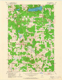
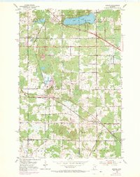
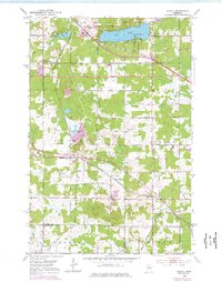
Other maps of this area

1895 · Duluth
USGS Topo · 1:62,500

1915 · Superior
USGS Topo · 1:48,000

1917 · Superior
USGS Topo · 1:62,500

1953 · Twig
USGS Topo · 1:24,000

1953 · Saginaw
USGS Topo · 1:24,000

1953 · Adolph
USGS Topo · 1:24,000

1953 · Duluth Heights
USGS Topo · 1:24,000

1953 · Fredenberg
USGS Topo · 1:24,000

1953 · Independence
USGS Topo · 1:24,000

1953 · Duluth
USGS Topo · 1:62,500