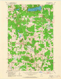
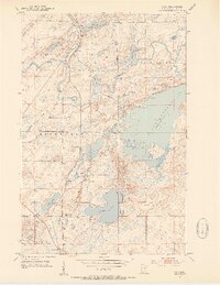
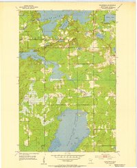
1953 Map of Adolph
USGS Topo · Published 1965About this map
Pike Lake and its surrounding wetlands anchor this mid-century survey of the terrain northwest of Duluth. The landscape is defined by the crossing of heavy industrial rail lines, including the Duluth Missabe and Iron Range and the Duluth Winnipeg and Pacific, which bisect the townships of Solway, Herman, and Canosia. These routes supported a network of small rail-side settlements such as Adolph, Munger, and Simar. Local community life is evidenced by institutions like the Pike Lake Sch, Grand Lake Ch, and the Town Hall at Munger. The map also documents numerous gravel pits and water infrastructure, including a prominent Water Tank near the rail junction, illustrating the area's development during a period of industrial transit and rural expansion.
Find a feature on this map
41 named features on this map. Tap any name to fly to it.
Don’t see what you’re looking for? This feature index may not catch every label — zoom into the map to look around manually.
Map Details
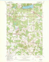
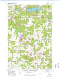
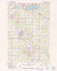
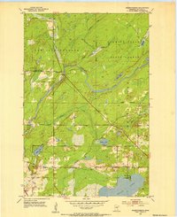
Editions of this 1953 Adolph Map
5 editions found
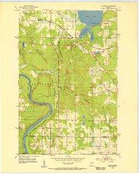
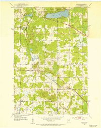
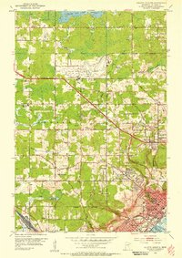
Other maps of this area

1895 · Duluth
USGS Topo · 1:62,500

1915 · Superior
USGS Topo · 1:48,000

1917 · Superior
USGS Topo · 1:62,500
1953 · Twig
USGS Topo · 1:24,000
1953 · Saginaw
USGS Topo · 1:24,000
1953 · Adolph
USGS Topo · 1:24,000
1953 · Duluth Heights
USGS Topo · 1:24,000
1953 · Fredenberg
USGS Topo · 1:24,000
1953 · Independence
USGS Topo · 1:24,000

1953 · Duluth
USGS Topo · 1:62,500