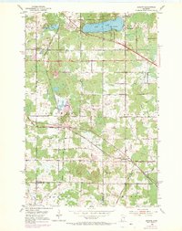
1953 Map of Adolph
USGS Topo · Published 1970About this map
The industrial and agricultural corridors of southern St. Louis County are defined here by a heavy concentration of rail lines and early road networks. The Duluth Missabe and Iron Range and the Duluth Winnipeg and Pacific railroads intersect near the center of the sheet, illustrating the region's importance as a transit hub for northern resources. Settlement clusters at Adolph, Munger, and Simar anchor the rural landscape, while the community around Pike Lake shows early development with the Pike Lake Sch and Canosia Cem. This survey captures the area just as suburban expansion began to reach out from the nearby port city, evidenced by the emerging residential patterns along Arrowhead Road and Hermantown Road. Several local landmarks are documented, including the Grand Lake Ch and a Town Hall near Munger, providing specific points of interest for genealogical and local history research.
Find a feature on this map
32 named features on this map. Tap any name to fly to it.
Don’t see what you’re looking for? This feature index may not catch every label — zoom into the map to look around manually.
Map Details
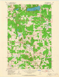
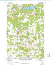
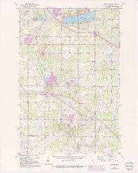
Editions of this 1953 Adolph Map
5 editions found
Other maps of this area

1895 · Duluth
USGS Topo · 1:62,500

1915 · Superior
USGS Topo · 1:48,000

1917 · Superior
USGS Topo · 1:62,500

1953 · Twig
USGS Topo · 1:24,000

1953 · Saginaw
USGS Topo · 1:24,000

1953 · Adolph
USGS Topo · 1:24,000

1953 · Duluth Heights
USGS Topo · 1:24,000

1953 · Fredenberg
USGS Topo · 1:24,000

1953 · Independence
USGS Topo · 1:24,000

1953 · Duluth
USGS Topo · 1:62,500