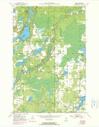
1951 Map of Palo
USGS Topo · Published 1990About this map
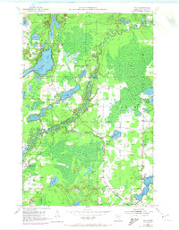
The St Louis River meanders through this landscape in St. Louis County, reflecting a mid-century era defined by its glacial lakes and nascent recreational development. Near the northern reach, Cedar Island Lake and Esquagama Lake serve as focal points for local social life, evidenced by the Esquagama Club, a Trailer Park, and Camp Sigel. The presence of the Esquagama Club and a nearby Golf Course suggests the area was already maturing into a destination for summer residents and outdoor enthusiasts.
Find a feature on this map
39 named features on this map. Tap any name to fly to it.
Don’t see what you’re looking for? This feature index may not catch every label — zoom into the map to look around manually.
Map Details
Editions of this 1951 Palo Map
6 editions found
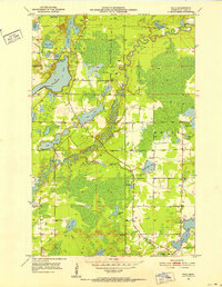
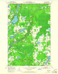
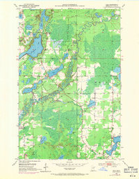
Other maps of this area

1949 · Aurora
USGS Topo · 1:24,000

1950 · Aurora
USGS Topo · 1:24,000

1950 · Biwabik
USGS Topo · 1:24,000

1950 · Mc Kinley
USGS Topo · 1:24,000

1951 · Biwabik
USGS Topo · 1:24,000

1951 · Mc Kinley
USGS Topo · 1:24,000

1951 · Palo
USGS Topo · 1:24,000

1951 · Gilbert
USGS Topo · 1:24,000

1951 · Central Lakes
USGS Topo · 1:24,000

1951 · Makinen
USGS Topo · 1:24,000