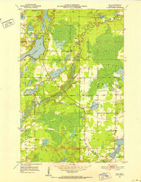
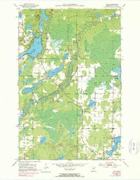
1951 Map of Palo
USGS Topo · Published 1952About this map
Palo serves as the small hub for this 1951 snapshot of northern Minnesota, where the winding St Louis River meanders through a landscape defined by glacial lakes and early development. The area around Esquagama Lake shows a localized culture of recreation and community gathering, evidenced by the presence of the Esquagama Club, 4H Camp, and Camp Sigel. This period captures the region's transition from pure wilderness to a mix of industrial resource extraction and seasonal leisure, with several Gravel Pits operating near established community centers like the St Louis River Hall.
Find a feature on this map
33 named features on this map. Tap any name to fly to it.
Don’t see what you’re looking for? This feature index may not catch every label — zoom into the map to look around manually.
Map Details
Editions of this 1951 Palo Map
6 editions found
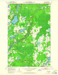
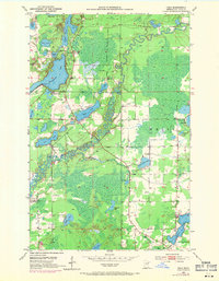
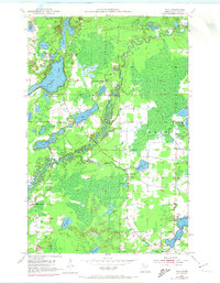
Other maps of this area

1949 · Aurora
USGS Topo · 1:24,000

1950 · Aurora
USGS Topo · 1:24,000

1950 · Biwabik
USGS Topo · 1:24,000

1950 · Mc Kinley
USGS Topo · 1:24,000

1951 · Biwabik
USGS Topo · 1:24,000

1951 · Mc Kinley
USGS Topo · 1:24,000

1951 · Palo
USGS Topo · 1:24,000

1951 · Gilbert
USGS Topo · 1:24,000

1951 · Central Lakes
USGS Topo · 1:24,000

1951 · Makinen
USGS Topo · 1:24,000