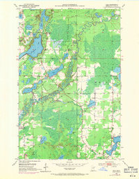
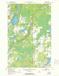
1951 Map of Palo
USGS Topo · Published 1971About this map
The ST Louis River and Embarrass River wind through a landscape defined by glacial lakes and early mid-century recreational development in the Iron Range region. Near the township of Palo, the map reveals a social fabric built around community landmarks like the St Louis River Hall and the Rauha Cem. Recreational life is evident along the shores of Esquagama Lake, featuring the Esquagama Club and nearby youth camps such as Camp Sigel and the 4H Camp. This 1951 survey, updated with 1969 photorevisions, shows a transition from rural homesteads to more established lakeside settlements. Numerous smaller bodies of water, including Frying Pan Lake and Tikander Lake, pepper the forest and wetlands, while several Gravel Pit sites indicate local industrial activity supporting the area's growth.
Find a feature on this map
32 named features on this map. Tap any name to fly to it.
Don’t see what you’re looking for? This feature index may not catch every label — zoom into the map to look around manually.
Map Details
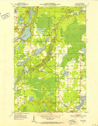
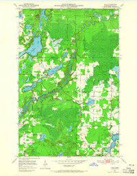
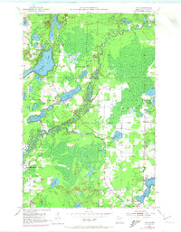
Editions of this 1951 Palo Map
6 editions found
Other maps of this area

1949 · Aurora
USGS Topo · 1:24,000

1950 · Aurora
USGS Topo · 1:24,000

1950 · Biwabik
USGS Topo · 1:24,000

1950 · Mc Kinley
USGS Topo · 1:24,000

1951 · Biwabik
USGS Topo · 1:24,000

1951 · Mc Kinley
USGS Topo · 1:24,000

1951 · Palo
USGS Topo · 1:24,000

1951 · Gilbert
USGS Topo · 1:24,000

1951 · Central Lakes
USGS Topo · 1:24,000

1951 · Makinen
USGS Topo · 1:24,000