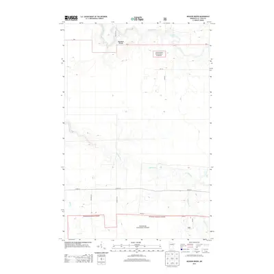
2013 Map of Meadow Brook
USGS Topo · Published 2013About this map
Little Fork River meanders through the northern reaches of this landscape, punctuated by the waters of Hannine Falls. The area is characterized by the expansive evergreen and deciduous cover of the Superior National Forest, which blankets much of the northern and southern portions of the terrain. Near the settlement of Meadow Brook, the Sturgeon River cuts a winding path across the central valley, joined by smaller tributaries like Sand Cr and Gilmore Cr.
Find a feature on this map
15 named features on this map. Tap any name to fly to it.
Don’t see what you’re looking for? This feature index may not catch every label — zoom into the map to look around manually.
Map Details
Editions of this 2013 Meadow Brook Map
This is the sole edition of this map. No revisions or reprints were ever made.
Other maps of this area

1954 · Hibbing
USGS Topo · 1:250,000

1955 · Dark Lake
USGS Topo · 1:24,000

1955 · Dewey Lake NW
USGS Topo · 1:24,000

1957 · Hibbing
USGS Topo · 1:250,000

1958 · Hibbing
USGS Topo · 1:250,000

1964 · Hibbing
USGS Topo · 1:250,000

1964 · Side Lake
USGS Topo · 1:24,000

1964 · Linden Grove
USGS Topo · 1:24,000

1964 · Gheen NW
USGS Topo · 1:24,000

1964 · Gheen
USGS Topo · 1:24,000