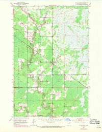
1952 Map of Little Swan
USGS Topo · Published 1971About this map
Swan River and its various branches, including the East Swan River and West Swan River, dominate this landscape in St. Louis County. The topography is defined by the winding paths of Barber Creek and Dempsey Creek as they flow through the George Washington Memorial Forest. This area, updated with 1969 revisions, shows the rural character of the settlements at Little Swan and Onega during a period of shifting transportation.
Find a feature on this map
12 named features on this map. Tap any name to fly to it.
Don’t see what you’re looking for? This feature index may not catch every label — zoom into the map to look around manually.
Map Details
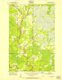
Editions of this 1952 Little Swan Map
3 editions found
Other maps of this area

1951 · Kirk
USGS Topo · 1:24,000

1951 · Hibbing
USGS Topo · 1:24,000

1951 · Casco
USGS Topo · 1:24,000

1951 · Buhl
USGS Topo · 1:24,000

1952 · Riley
USGS Topo · 1:24,000

1952 · Little Swan
USGS Topo · 1:24,000

1954 · Hibbing
USGS Topo · 1:250,000

1957 · Hibbing
USGS Topo · 1:250,000

1957 · Hibbing
USGS Topo · 1:24,000

1958 · Hibbing
USGS Topo · 1:250,000