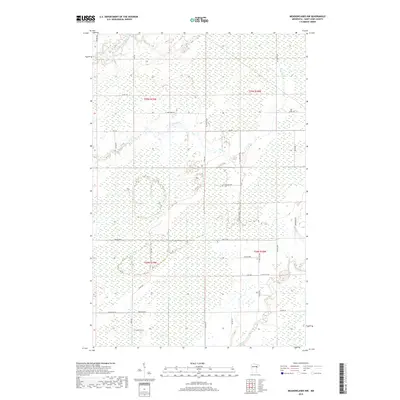
2019 Map of Meadowlands NW
USGS Topo · Published 2019About this map
The Saint-Louis River and Whiteface River converge in this northern Minnesota landscape, defining a terrain dominated by expansive wetlands and low-lying river bottoms. This 2019 survey of Saint Louis County reveals a sparse settlement pattern dictated by the damp geography, where rural life follows the section lines of the Public Land Survey System. Movement through the area is facilitated by a grid of local corridors like Arkola Rd and Sax Rd, while numerous smaller creeks like Stony Cr weave through the marshy sections. Named roads such as Mc Davitt Rd, Parssinen Rd, and E Lindstrom Rd suggest the region's homesteading history and family lineages. The map provides a contemporary view of this remote portion of the Iron Range hinterlands, showing how the natural drainage systems of the St. Louis basin continue to shape local infrastructure.
Find a feature on this map
35 named features on this map. Tap any name to fly to it.
Don’t see what you’re looking for? This feature index may not catch every label — zoom into the map to look around manually.
Map Details
Editions of this 2019 Meadowlands NW Map
This is the sole edition of this map. No revisions or reprints were ever made.
Other maps of this area

1951 · Zim
USGS Topo · 1:24,000

1951 · Casco
USGS Topo · 1:24,000

1952 · Little Swan
USGS Topo · 1:24,000

1953 · Payne
USGS Topo · 1:24,000

1954 · Hibbing
USGS Topo · 1:250,000

1957 · Hibbing
USGS Topo · 1:250,000

1958 · Hibbing
USGS Topo · 1:250,000

1963 · Elmer
USGS Topo · 1:24,000

1963 · Meadowlands NW
USGS Topo · 1:24,000
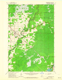
1963 · Meadowlands
USGS Topo · 1:24,000