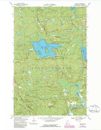
1968 Map of Orr NE
USGS Topo · Published 1987About this map
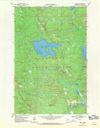
Kabetogama State Forest dominates this northern Minnesota landscape, where a dense network of lakes and waterways defines the North Woods geography of the late 1960s. The central expanse of Black Duck Lake is joined by Elephant Lake to the east, while smaller water bodies like Bog Lake and South Bog Lake punctuate the timbered terrain. Topographic detail reveals the winding course of the Pelican River and the Lost River, illustrating the complex drainage patterns of St. Louis County.
Find a feature on this map
12 named features on this map. Tap any name to fly to it.
Don’t see what you’re looking for? This feature index may not catch every label — zoom into the map to look around manually.
Map Details
Editions of this 1968 Orr NE Map
2 editions found
Other maps of this area

1954 · International Falls
USGS Topo · 1:250,000

1957 · International Falls
USGS Topo · 1:250,000

1958 · International Falls
USGS Topo · 1:250,000

1967 · Marion Lake
USGS Topo · 1:24,000

1967 · Elephant Lake
USGS Topo · 1:24,000
1968 · Myrtle Lake
USGS Topo · 1:24,000

1968 · Ash River SE
USGS Topo · 1:24,000

1968 · Ash Lake
USGS Topo · 1:24,000

1968 · Ash River SW
USGS Topo · 1:24,000
1968 · Orr NE
USGS Topo · 1:24,000