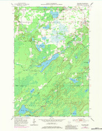
1951 Map of Makinen
USGS Topo · Published 1983About this map
Makinen stands as a focal point in this portion of the Iron Range, situated amid a complex network of glacial lakes and wetlands in St. Louis County. The landscape is defined by the extensive Cloquet Valley State Forest, where the Paleface River and Water Hen Creek drain a terrain marked by numerous basins, including the prominently elongated Long Lake and the circular Section Fourteen Lake. A Town Hall in the eastern sector indicates the organized township life of White and Colvin during the early 1950s. The presence of a Gravel Pit near Little Markham Lake suggests localized industrial activity supporting the area's infrastructure. Hydrological features like Morcom Lake, Wabuse Lake, and Little Mud Hen Lake dominate the geography, illustrating the transition between upland forest and the marshy lowlands typical of northern Minnesota's wilderness regions before significant modern development.
Find a feature on this map
25 named features on this map. Tap any name to fly to it.
Don’t see what you’re looking for? This feature index may not catch every label — zoom into the map to look around manually.
Map Details
Editions of this 1951 Makinen Map
5 editions found
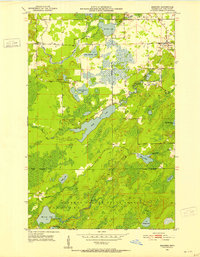
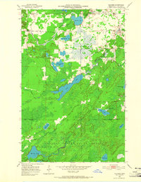
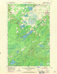
Other maps of this area

1951 · Palo
USGS Topo · 1:24,000

1951 · Gilbert
USGS Topo · 1:24,000

1951 · Central Lakes
USGS Topo · 1:24,000

1951 · Makinen
USGS Topo · 1:24,000

1954 · Hibbing
USGS Topo · 1:250,000

1956 · Cotton
USGS Topo · 1:24,000

1956 · Whiteface
USGS Topo · 1:24,000

1957 · Hibbing
USGS Topo · 1:250,000

1957 · Markham
USGS Topo · 1:62,500

1957 · Comstock Lake
USGS Topo · 1:24,000