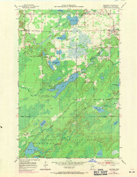
1951 Map of Makinen
USGS Topo · Published 1971About this map
Makinen serves as a small anchor in this landscape of the Mesabi Range area, situated north of the expansive Cloquet Valley State Forest. The terrain is defined by an intricate network of glacial lakes and wetlands, including the elongated Long Lake and the circular Section Fourteen Lake. The transition from the Iron Range uplands toward the swampy headwaters is evident through features like Mud Hen Lake and its associated Mud Hen Creek, which drain through the timbered lowlands of Ellsburg.
Find a feature on this map
26 named features on this map. Tap any name to fly to it.
Don’t see what you’re looking for? This feature index may not catch every label — zoom into the map to look around manually.
Map Details
Editions of this 1951 Makinen Map
5 editions found
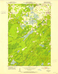
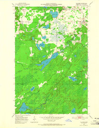
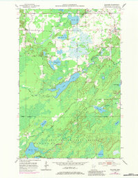
Other maps of this area

1951 · Palo
USGS Topo · 1:24,000

1951 · Gilbert
USGS Topo · 1:24,000

1951 · Central Lakes
USGS Topo · 1:24,000

1951 · Makinen
USGS Topo · 1:24,000

1954 · Hibbing
USGS Topo · 1:250,000

1956 · Cotton
USGS Topo · 1:24,000

1956 · Whiteface
USGS Topo · 1:24,000

1957 · Hibbing
USGS Topo · 1:250,000

1957 · Markham
USGS Topo · 1:62,500

1957 · Comstock Lake
USGS Topo · 1:24,000