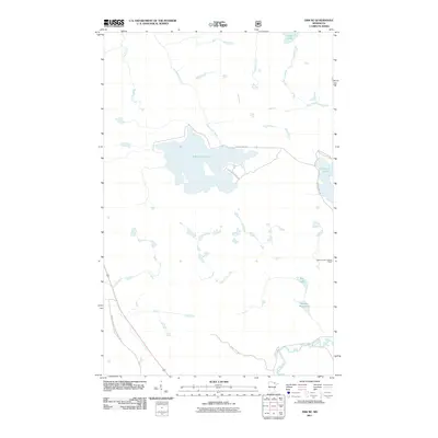
2011 Map of Orr NE
USGS Topo · Published 2011About this map
Black Duck Lake and the surrounding wetlands of northern Saint Louis County define this 2011 survey, a landscape primarily shaped by glacial hydrology and forest management. The presence of the Elephant Lake Lookout Tower near Elephant Lake highlights the region's historical and ongoing reliance on fire surveillance within these dense timberlands. The hydrography is notably complex, with the Black Duck River and Ninemile Creek feeding into various basins, while the Pelican River meanders through the southern portion of the quadrangle. Access to this territory is provided by a network of specialized routes, including the Swan Lake Forest Management Rd and Forest Rte-804, reflecting the area's use for resource management. Smaller bodies of water such as South Bog Lake and Chub Lake illustrate the transition between open water and peatland environments typical of this Minnesota wilderness.
Find a feature on this map
17 named features on this map. Tap any name to fly to it.
Don’t see what you’re looking for? This feature index may not catch every label — zoom into the map to look around manually.
Map Details
Editions of this 2011 Orr NE Map
This is the sole edition of this map. No revisions or reprints were ever made.
Other maps of this area

1954 · International Falls
USGS Topo · 1:250,000

1957 · International Falls
USGS Topo · 1:250,000

1958 · International Falls
USGS Topo · 1:250,000
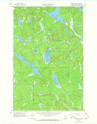
1967 · Marion Lake
USGS Topo · 1:24,000
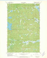
1967 · Elephant Lake
USGS Topo · 1:24,000
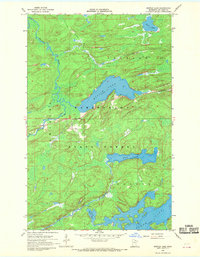
1968 · Myrtle Lake
USGS Topo · 1:24,000
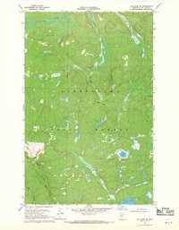
1968 · Ash River SE
USGS Topo · 1:24,000
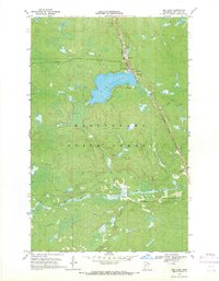
1968 · Ash Lake
USGS Topo · 1:24,000
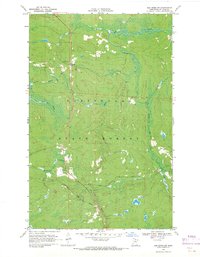
1968 · Ash River SW
USGS Topo · 1:24,000
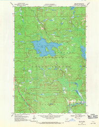
1968 · Orr NE
USGS Topo · 1:24,000