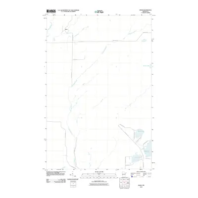
2010 Map of Shaw
USGS Topo · Published 2010About this map
Shaw occupies the northern reaches of this St. Louis County landscape, situated where Bug Creek and the Us-Kab-Wan-Ka River shape the hydrology of the Northwoods. The geography is defined by a significant network of water bodies in the southeast, most notably the Island Lake Reservoir, which is supported by structures such as the N Dike Rd. This reservoir system, along with Cooks Lake and Morgan Lake, suggests a region deeply integrated with water management and seasonal recreation.
Find a feature on this map
21 named features on this map. Tap any name to fly to it.
Don’t see what you’re looking for? This feature index may not catch every label — zoom into the map to look around manually.
Map Details
Editions of this 2010 Shaw Map
This is the sole edition of this map. No revisions or reprints were ever made.
Other maps of this area

1895 · Duluth
USGS Topo · 1:62,500

1953 · Twig
USGS Topo · 1:24,000

1953 · Canyon
USGS Topo · 1:24,000

1953 · Shaw
USGS Topo · 1:24,000

1953 · Boulder Lake Reservoir
USGS Topo · 1:24,000

1953 · Fredenberg
USGS Topo · 1:24,000

1953 · Independence
USGS Topo · 1:24,000

1953 · Duluth
USGS Topo · 1:62,500

1953 · Duluth
USGS Topo · 1:250,000

1954 · Hibbing
USGS Topo · 1:250,000