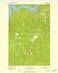
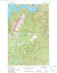
1952 Map of Babbitt NE
USGS Topo · Published 1954About this map
Birch Lake dominates the northern landscape of this 1950s survey, its irregular shoreline forming complex features like Norway Point and Klobuchar Bay. This area, where the Minnesota State Forest and Superior National Forest meet, shows the distinct transition from water to timberland in St. Louis and Lake counties. The presence of Tomahawk Camp (Abandoned) and an Old Landing field suggests a landscape once more actively used for logging or backcountry operations that had begun to recede by mid-century. Several locations marked simply as Quarry indicate the extraction of regional stone. The Dunca River winds through the southwestern quadrant, feeding into Dunca Bay and connecting the dense interior woodlands to the larger lake system.
Find a feature on this map
18 named features on this map. Tap any name to fly to it.
Don’t see what you’re looking for? This feature index may not catch every label — zoom into the map to look around manually.
Map Details
Editions of this 1952 Babbitt NE Map
6 editions found
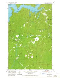
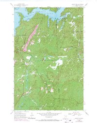
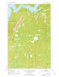
Other maps of this area

1933 · Ely
USGS Topo · 1:62,500

1939 · Ely
USGS Topo · 1:62,500

1951 · Babbitt SW
USGS Topo · 1:24,000

1951 · Babbitt
USGS Topo · 1:24,000

1952 · Babbitt SE
USGS Topo · 1:24,000

1952 · Babbitt NE
USGS Topo · 1:24,000

1954 · Greenwood Lake
USGS Topo · 1:62,500

1954 · Two Harbors
USGS Topo · 1:250,000

1957 · Two Harbors
USGS Topo · 1:250,000

1957 · Gabbro Lake
USGS Topo · 1:62,500
Featured Places
- Babbitt, MN
- Stony River Township, MN
- Bassett Township, MN
- Birch Lake (Unorganized Territory), MN
- Lake No. 2, MN