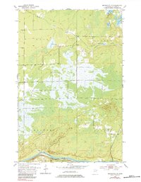
1953 Map of Brookston NW
USGS Topo · Published 1984About this map
The St Louis River flows along the southern edge of this landscape, marking the northern boundary of the Fond Du Lac Indian Reservation. This 1953 survey captures a heavily marshy region where human modification is evident through an extensive system of Levee structures built to manage the water-logged terrain. The Great Northern railroad tracks parallel the river's curve, serving as a primary transport artery for the area's timber or mineral interests.
Find a feature on this map
17 named features on this map. Tap any name to fly to it.
Don’t see what you’re looking for? This feature index may not catch every label — zoom into the map to look around manually.
Map Details
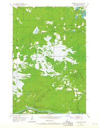
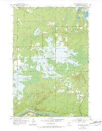
Editions of this 1953 Brookston NW Map
4 editions found
Other maps of this area

1953 · Payne
USGS Topo · 1:24,000

1953 · Alborn
USGS Topo · 1:24,000

1953 · Brookston
USGS Topo · 1:24,000

1953 · Brookston NW
USGS Topo · 1:24,000

1953 · Duluth
USGS Topo · 1:250,000

1954 · Martin Lake
USGS Topo · 1:24,000

1954 · Hibbing
USGS Topo · 1:250,000

1957 · Hibbing
USGS Topo · 1:250,000

1958 · Hibbing
USGS Topo · 1:250,000

1958 · Duluth
USGS Topo · 1:250,000