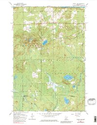
1954 Map of Martin Lake
USGS Topo · Published 1980About this map
The Fond Du Lac Indian Reservation and Fond Du Lac State Forest dominate this mid-century landscape, illustrating a region defined by managed timberlands and indigenous lands. The map reveals a sparse pattern of human infrastructure, centered around a local Town Hall and a Radio Tower, suggesting a quiet, rural governance and communication network. Much of the northern terrain is a complex hydrologic system where Stoney Brook winds through low-lying areas, connecting several bodies of water including Martin Lake and Lost Lake.
Find a feature on this map
12 named features on this map. Tap any name to fly to it.
Don’t see what you’re looking for? This feature index may not catch every label — zoom into the map to look around manually.
Map Details
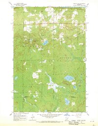
Editions of this 1954 Martin Lake Map
3 editions found
Other maps of this area

1953 · Alborn
USGS Topo · 1:24,000

1953 · Brookston
USGS Topo · 1:24,000

1953 · Brookston NW
USGS Topo · 1:24,000

1953 · Duluth
USGS Topo · 1:250,000

1954 · Iverson
USGS Topo · 1:24,000

1954 · Sawyer
USGS Topo · 1:24,000

1954 · Martin Lake
USGS Topo · 1:24,000

1956 · Barnum
USGS Topo · 1:62,500

1958 · Duluth
USGS Topo · 1:250,000

1961 · Cromwell
USGS Topo · 1:62,500
Featured Places
- Perch Lake Township, MN
- North Carlton, MN
- Stoney Brook Township, MN
- Saint Louis County, MN
- Carlton County, MN