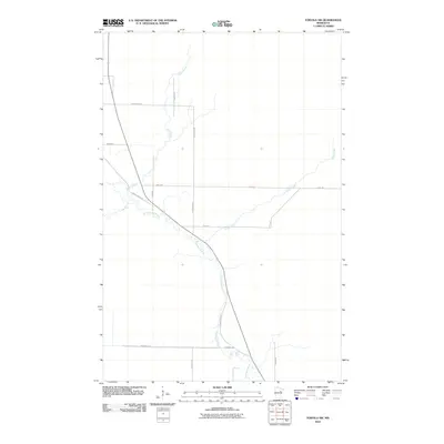
2010 Map of Toivola SW
USGS Topo · Published 2010About this map
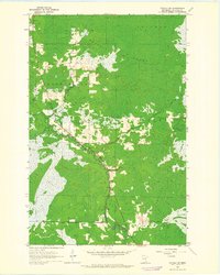
The Floodwood River carves a winding path through this corner of Saint Louis County, defining a landscape shaped by glacial waterways and rural transit routes. This area in northern Minnesota exhibits a sparse settlement pattern connected by long-standing timber and farm roads such as W Savanna Rd and N Savanna Rd. Low-lying drainage is a primary geographic feature, with Vaara Creek and Joula Creek feeding into the main river channel. The intersection of Hwy-133 and State Highway 73 serves as the local nexus for transportation, while family-named thoroughfares like Heikkila Rd and Santi Rd suggest the enduring presence of local landholders and the heritage of the region's rural development in the early 21st century.
Find a feature on this map
15 named features on this map. Tap any name to fly to it.
Don’t see what you’re looking for? This feature index may not catch every label — zoom into the map to look around manually.
Map Details
Editions of this 2010 Toivola SW Map
This is the sole edition of this map. No revisions or reprints were ever made.
Other maps of this area
1953 · Duluth
USGS Topo · 1:250,000
1954 · Hibbing
USGS Topo · 1:250,000
1957 · Hibbing
USGS Topo · 1:250,000
1958 · Hibbing
USGS Topo · 1:250,000
1958 · Duluth
USGS Topo · 1:250,000
1963 · Elmer
USGS Topo · 1:24,000
1963 · Toivola SW
USGS Topo · 1:24,000
1963 · Upstead Lake
USGS Topo · 1:24,000
1963 · Mc Carty River
USGS Topo · 1:24,000
1963 · Toivola
USGS Topo · 1:24,000