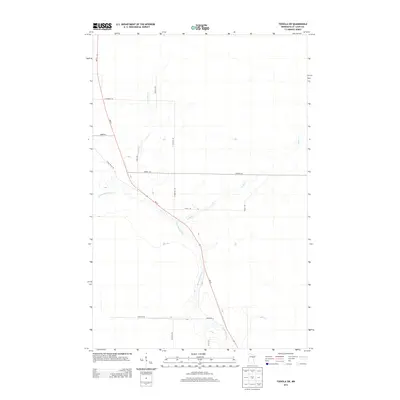
2013 Map of Toivola SW
USGS Topo · Published 2013About this map
The Floodwood River winds southeast through this portion of Saint Louis County, serving as the primary drainage for a landscape defined by its wetland patterns and tributary streams. Two significant waterways, Joula Cr and Vaara Cr, feed into the river system, reflecting the hydrologic character of the northern Minnesota woods. The transportation network is anchored by MN-73, which cuts diagonally across the quadrangle, intersected by a grid of local corridors including CO Hwy-133 and Cedar Valley Rd.
Find a feature on this map
14 named features on this map. Tap any name to fly to it.
Don’t see what you’re looking for? This feature index may not catch every label — zoom into the map to look around manually.
Map Details
Editions of this 2013 Toivola SW Map
This is the sole edition of this map. No revisions or reprints were ever made.
Other maps of this area
1953 · Duluth
USGS Topo · 1:250,000
1954 · Hibbing
USGS Topo · 1:250,000
1957 · Hibbing
USGS Topo · 1:250,000
1958 · Hibbing
USGS Topo · 1:250,000
1958 · Duluth
USGS Topo · 1:250,000
1963 · Elmer
USGS Topo · 1:24,000
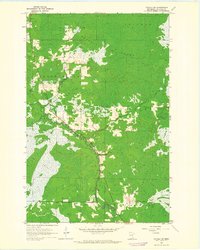
1963 · Toivola SW
USGS Topo · 1:24,000
1963 · Upstead Lake
USGS Topo · 1:24,000
1963 · Mc Carty River
USGS Topo · 1:24,000
1963 · Toivola
USGS Topo · 1:24,000