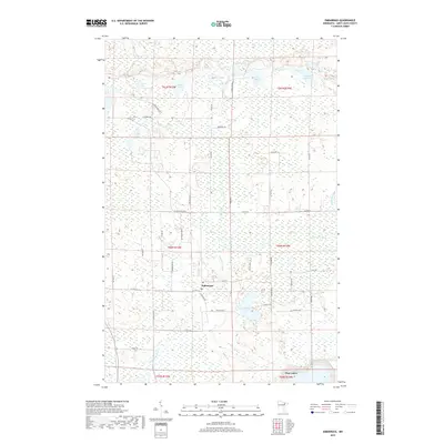
2019 Map of Embarrass
USGS Topo · Published 2019About this map
The Embarrass River winds through this northern Minnesota landscape, defining a region where the iron range's edge meets a complex network of wetlands and small lakes. The small community of Embarrass serves as a central point for local travel, situated where Co HWY 21 and Salo Rd intersect. This area is characterized by its numerous glacial water bodies, including Heikkilla Lake, Moose Lake, and the cluster known as Fishing Lakes. The southern boundary touches the outskirts of Hoyt Lakes, reflecting the residential expansion related to the regional mining industry. Notable local landmarks like the Po in Embarrass and family-named roads such as Wahlsten Rd and Saranpaa Rd offer specific touchpoints for genealogists and local historians tracking the development of Finnish-American settlements in Saint Louis County.
Find a feature on this map
37 named features on this map. Tap any name to fly to it.
Don’t see what you’re looking for? This feature index may not catch every label — zoom into the map to look around manually.
Map Details
Editions of this 2019 Embarrass Map
This is the sole edition of this map. No revisions or reprints were ever made.
Other maps of this area
1949 · Aurora
USGS Topo · 1:24,000
1949 · Isaac Lake
USGS Topo · 1:24,000
1949 · Allen
USGS Topo · 1:24,000
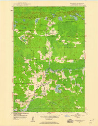
1949 · Embarrass
USGS Topo · 1:24,000
1950 · Isaac Lake
USGS Topo · 1:24,000
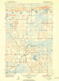
1950 · Embarrass
USGS Topo · 1:24,000
1950 · Allen
USGS Topo · 1:24,000
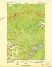
1950 · Aurora
USGS Topo · 1:24,000
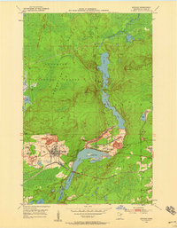
1950 · Biwabik
USGS Topo · 1:24,000
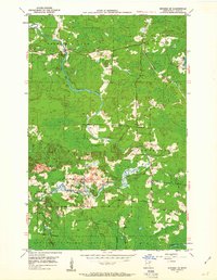
1950 · Biwabik NE
USGS Topo · 1:24,000