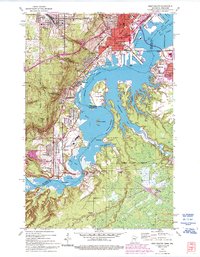
1954 Map of West Duluth
USGS Topo · Published 1993About this map
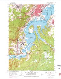
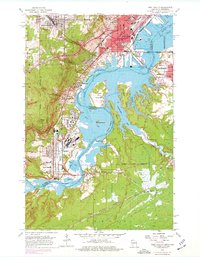
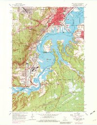
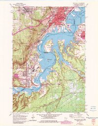
Industrial developments and established neighborhoods of Duluth and Superior line the complex estuary where the St Louis River meets St Louis Bay. This 1954 topography, revised in 1993, captures the heavy transport infrastructure of the mid-century, including the Duluth Missabe and Iron Range and Northern Pacific railroads serving the waterfront. Residential pockets like the planned industrial community of Morgan Park and the distinct neighborhoods of Steelton, Gary, and New Duluth are clearly delineated against the steep escarpment of the North Shore. To the west, the terrain rises sharply toward Proctor and Bardon Peak, while the river itself is dotted with islands and points such as Clough Island and Dwights Point. The map also preserves the locations of local institutions like Oneota Cem and Denfeld High Sch, reflecting the civic growth of the Twin Ports.
Find a feature on this map
69 named features on this map. Tap any name to fly to it.
Don’t see what you’re looking for? This feature index may not catch every label — zoom into the map to look around manually.
Map Details
Editions of this 1954 West Duluth Map
9 editions found
Other maps of this area

1895 · Duluth
USGS Topo · 1:62,500

1915 · Superior
USGS Topo · 1:48,000

1917 · Superior
USGS Topo · 1:62,500

1953 · Adolph
USGS Topo · 1:24,000

1953 · Duluth
USGS Topo · 1:24,000

1953 · Duluth Heights
USGS Topo · 1:24,000

1953 · Duluth
USGS Topo · 1:62,500

1953 · Duluth
USGS Topo · 1:250,000

1954 · West Duluth
USGS Topo · 1:24,000

1954 · Borea
USGS Topo · 1:24,000