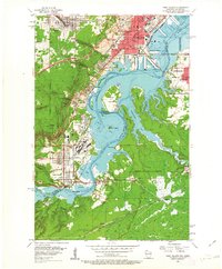
1954 Map of West Duluth
USGS Topo · Published 1955About this map
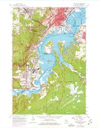
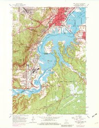
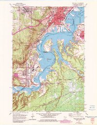
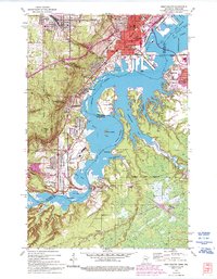
The industrial and maritime heart of the St Louis River valley is revealed here in the mid-1950s, where the borders of Duluth, Minnesota, and Superior, Wisconsin, meet. This period shows a complex rail-and-water network supporting specialized neighborhoods like Morgan Park and Steelton. The geography is defined by the winding river channel as it widens into Spirit Lake, punctuated by landmarks such as Clough Island and Spirit Island. On the Minnesota side, the Duluth Missabe and Iron Range railroad snakes through the terrain, connecting industrial pockets and residential centers like Proctor and Gary.
Find a feature on this map
64 named features on this map. Tap any name to fly to it.
Don’t see what you’re looking for? This feature index may not catch every label — zoom into the map to look around manually.
Map Details
Editions of this 1954 West Duluth Map
9 editions found
Other maps of this area

1895 · Duluth
USGS Topo · 1:62,500

1915 · Superior
USGS Topo · 1:48,000

1917 · Superior
USGS Topo · 1:62,500

1953 · Adolph
USGS Topo · 1:24,000

1953 · Duluth
USGS Topo · 1:24,000

1953 · Duluth Heights
USGS Topo · 1:24,000

1953 · Duluth
USGS Topo · 1:62,500

1953 · Duluth
USGS Topo · 1:250,000

1954 · West Duluth
USGS Topo · 1:24,000

1954 · Borea
USGS Topo · 1:24,000