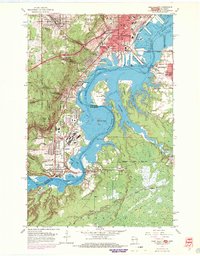
1954 Map of West Duluth
USGS Topo · Published 1970About this map
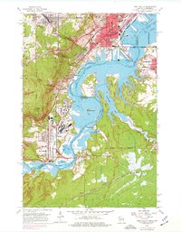
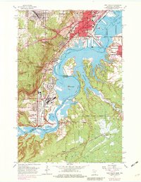
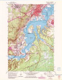
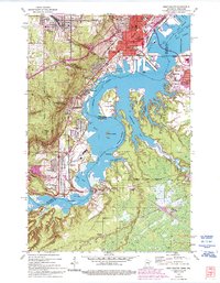
Industrial corridors and residential growth define the landscape where the St Louis River widens into St Louis Bay. This 1954 survey, photorevised in 1969, reveals a dense network of transit and industry, centered around the Duluth Missabe and Iron Range and Northern Pacific railroads. Planned company towns and workers' neighborhoods like Morgan Park and Steelton sit adjacent to massive industrial footprints, while the heights above West Duluth are marked by the winding path of Skyline Drive. Across the water, the Wisconsin shoreline remains comparatively less developed, characterized by the expansive wetlands of Pokegama Bay and the wooded terrain of Clough Island. The map records a critical era for the Twin Ports, documenting everything from the Arrowhead Bridge to the quiet grounds of Oneota Cemetery and Graceland Cemetery.
Find a feature on this map
66 named features on this map. Tap any name to fly to it.
Don’t see what you’re looking for? This feature index may not catch every label — zoom into the map to look around manually.
Map Details
Editions of this 1954 West Duluth Map
9 editions found
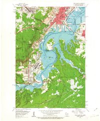
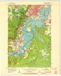
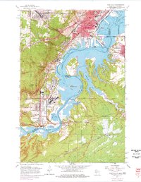
Other maps of this area

1895 · Duluth
USGS Topo · 1:62,500

1915 · Superior
USGS Topo · 1:48,000

1917 · Superior
USGS Topo · 1:62,500

1953 · Adolph
USGS Topo · 1:24,000

1953 · Duluth
USGS Topo · 1:24,000

1953 · Duluth Heights
USGS Topo · 1:24,000

1953 · Duluth
USGS Topo · 1:62,500

1953 · Duluth
USGS Topo · 1:250,000

1954 · West Duluth
USGS Topo · 1:24,000

1954 · Borea
USGS Topo · 1:24,000