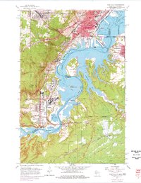
1954 Map of West Duluth
USGS Topo · Published 1977About this map
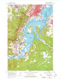
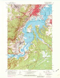
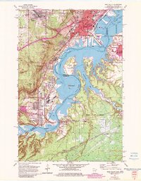
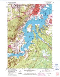
Industrial rail hubs and shoreline developments define the landscape where the St Louis River opens into St Louis Bay. This mid-century survey illustrates the heavy infrastructure required for the iron ore trade, featuring the expansive yards of the Duluth Missabe and Iron Range and Northern Pacific railroads. The map documents established residential and industrial districts such as Morgan Park, Steelton, and Gary, alongside civic institutions like Denfeld High Sch and St Josephs Hospital.
Find a feature on this map
74 named features on this map. Tap any name to fly to it.
Don’t see what you’re looking for? This feature index may not catch every label — zoom into the map to look around manually.
Map Details
Editions of this 1954 West Duluth Map
9 editions found
Other maps of this area

1895 · Duluth
USGS Topo · 1:62,500

1915 · Superior
USGS Topo · 1:48,000

1917 · Superior
USGS Topo · 1:62,500

1953 · Adolph
USGS Topo · 1:24,000

1953 · Duluth
USGS Topo · 1:24,000

1953 · Duluth Heights
USGS Topo · 1:24,000

1953 · Duluth
USGS Topo · 1:62,500

1953 · Duluth
USGS Topo · 1:250,000

1954 · West Duluth
USGS Topo · 1:24,000

1954 · Borea
USGS Topo · 1:24,000