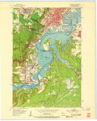
1954 Map of West Duluth
USGS Topo · Published 1955About this map
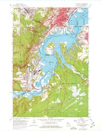
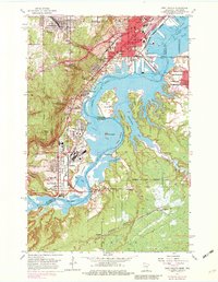
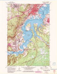
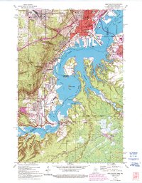
Industrial infrastructure and the winding course of the St Louis River define this mid-century portrait of the Twin Ports region. The map captures the complex rail networks of the Duluth Missabe and Iron Range and Northern Pacific as they converge on the harbor at Grassy Point. In the southwest, the planned industrial community of Morgan Park and the adjacent steel-mill neighborhood of Steelton sit in sharp contrast to the steep elevations of Bardon Peak and the sweeping curves of the Skyline Parkway.
Find a feature on this map
63 named features on this map. Tap any name to fly to it.
Don’t see what you’re looking for? This feature index may not catch every label — zoom into the map to look around manually.
Map Details
Editions of this 1954 West Duluth Map
9 editions found
Other maps of this area

1895 · Duluth
USGS Topo · 1:62,500

1915 · Superior
USGS Topo · 1:48,000

1917 · Superior
USGS Topo · 1:62,500

1953 · Adolph
USGS Topo · 1:24,000

1953 · Duluth
USGS Topo · 1:24,000

1953 · Duluth Heights
USGS Topo · 1:24,000

1953 · Duluth
USGS Topo · 1:62,500

1953 · Duluth
USGS Topo · 1:250,000

1954 · West Duluth
USGS Topo · 1:24,000

1954 · Borea
USGS Topo · 1:24,000