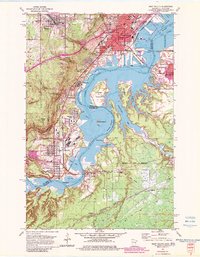
1954 Map of West Duluth
USGS Topo · Published 1983About this map
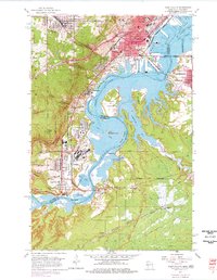
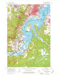
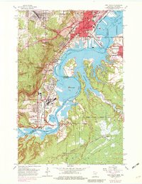
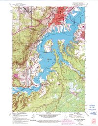
The industrial and maritime corridors of the St Louis River define this mid-century landscape, where heavy rail and shipping infrastructure meet the steep topography of the Duluth hills. Built around the river's winding path, industrial neighborhoods like Steelton, Morgan Park, and Gary are shown in detail, served by a dense network of railroads including the Duluth Missabe and Iron Range and the Northern Pacific. The map reveals the era's focus on heavy manufacturing and transport, with significant dockage at Grassy Point and the complex channels of St Louis Bay.
Find a feature on this map
58 named features on this map. Tap any name to fly to it.
Don’t see what you’re looking for? This feature index may not catch every label — zoom into the map to look around manually.
Map Details
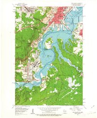
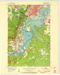
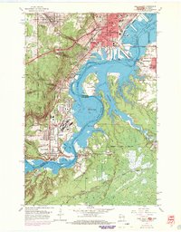
Editions of this 1954 West Duluth Map
9 editions found
Other maps of this area

1895 · Duluth
USGS Topo · 1:62,500

1915 · Superior
USGS Topo · 1:48,000

1917 · Superior
USGS Topo · 1:62,500

1953 · Adolph
USGS Topo · 1:24,000

1953 · Duluth
USGS Topo · 1:24,000

1953 · Duluth Heights
USGS Topo · 1:24,000

1953 · Duluth
USGS Topo · 1:62,500

1953 · Duluth
USGS Topo · 1:250,000

1954 · West Duluth
USGS Topo · 1:24,000

1954 · Borea
USGS Topo · 1:24,000