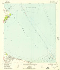
1956 Map of Bacliff
USGS Topo · Published 1957About this map
Galveston Bay shoreline communities characterize this mid-1950s survey of the Texas coast, reflecting a period of residential growth and maritime activity. The map captures the established settlement patterns of Bacliff and San Leon, alongside newer developments like El Jardin Del Mar and Surf Oaks. Inland from the water, the presence of the Seabrook Cem, a local Grade Sch, and the Bayshore Ch provide essential markers for genealogists and local historians tracking the social fabric of the era.
Find a feature on this map
28 named features on this map. Tap any name to fly to it.
Don’t see what you’re looking for? This feature index may not catch every label — zoom into the map to look around manually.
Map Details
Editions of this 1956 Bacliff Map
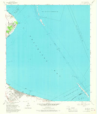
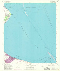
Other maps of this area

1916 · Morgan Point
USGS Topo · 1:24,000

1916 · Seabrook
USGS Topo · 1:24,000

1916 · La Porte
USGS Topo · 1:24,000

1919 · Morgan Point
USGS Topo · 1:31,680

1920 · Seabrook
USGS Topo · 1:31,680

1920 · La Porte
USGS Topo · 1:31,680

1929 · Dickinson
USGS Topo · 1:24,000

1929 · Texas City
USGS Topo · 1:24,000

1932 · Clifton By The Sea
USGS Topo · 1:31,680

1932 · Dickinson
USGS Topo · 1:31,680