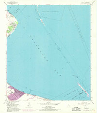
1956 Map of Bacliff
USGS Topo · Published 1970About this map
Galveston Bay dominates this coastal survey, where the industrial presence of the Houston Ship Channel and various Wells and Pipelines Obstruction Areas meet the developing residential shorelines of the mid-20th century. The settlement of Bacliff is shown with its local Grade Sch and shoreline features like Clifton Beach and Clifton Channel. To the north, the communities of El Jardin Del Mar and Surf Oaks sit near the Seabrook Cem and the prominent Red Bluff overlook. Along the southern edge, the grid of San Leon extends toward the water, while the Southern Pacific railroad line provides the primary overland transport link. Marine navigation is highlighted by landmarks such as Bulkhead Reef, Red Fish Island, and the critical passages of Five Mile Pass and Middle Pass.
Find a feature on this map
27 named features on this map. Tap any name to fly to it.
Don’t see what you’re looking for? This feature index may not catch every label — zoom into the map to look around manually.
Map Details
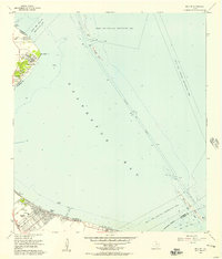
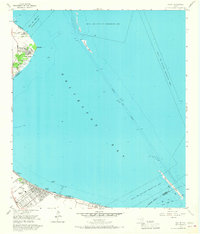
Editions of this 1956 Bacliff Map
Other maps of this area

1916 · Morgan Point
USGS Topo · 1:24,000

1916 · Seabrook
USGS Topo · 1:24,000

1916 · La Porte
USGS Topo · 1:24,000

1919 · Morgan Point
USGS Topo · 1:31,680

1920 · Seabrook
USGS Topo · 1:31,680

1920 · La Porte
USGS Topo · 1:31,680

1929 · Dickinson
USGS Topo · 1:24,000

1929 · Texas City
USGS Topo · 1:24,000

1932 · Clifton By The Sea
USGS Topo · 1:31,680

1932 · Dickinson
USGS Topo · 1:31,680