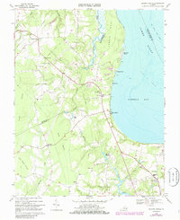
1969 Map of Bacons Castle
USGS Topo · Published 1986About this map
Bacons Castle anchors the northwest corner of this coastal landscape, situated near the headwaters of Chippokes Creek and Castle Mill Run. The map records the rural character of the Tidewater region in the late 1960s, a period when the landscape was defined by scattered agrarian settlements like Poolesville, Moonlight, and Septa. Along the western shore of the James River, the topography transitions from the tidal marshes of Lawnes Creek to the sandy stretches of Baileys Beach and Holly Point.
Find a feature on this map
47 named features on this map. Tap any name to fly to it.
Don’t see what you’re looking for? This feature index may not catch every label — zoom into the map to look around manually.
Map Details
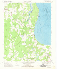
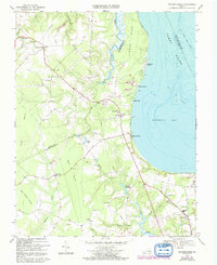
Editions of this 1969 Bacons Castle Map
Other maps of this area

1907 · Yorktown
USGS Topo · 1:62,500

1919 · Smithfield
USGS Topo · 1:62,500

1919 · Surry
USGS Topo · 1:62,500

1920 · Ivor
USGS Topo · 1:62,500

1943 · Yorktown
USGS Topo · 1:62,500

1943 · Richmond
USGS Topo · 1:250,000

1944 · Yorktown
USGS Topo · 1:24,000

1944 · Smithfield
USGS Topo · 1:24,000

1944 · Raynor
USGS Topo · 1:24,000
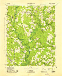
1945 · Raynor
USGS Topo · 1:31,680