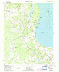
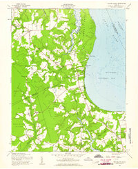
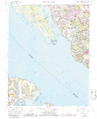
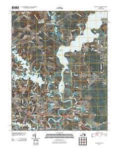
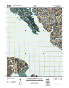
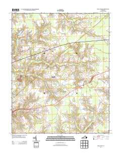
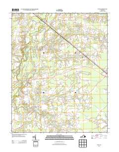
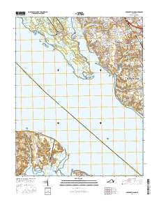
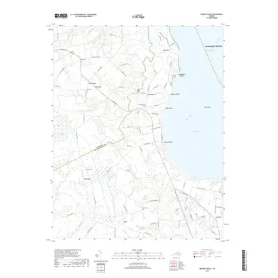
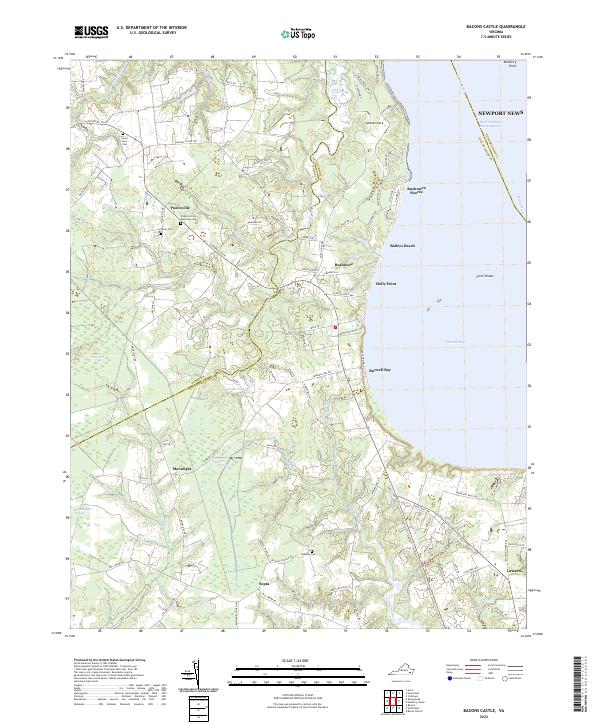
1969 Map of Bacons Castle
USGS Topo · Published 1992About this map
Bacons Castle anchors this Virginia coastal landscape at the intersection of the Surry and Isle of Wight county line. The terrain is defined by the deep tidal indentations of the James River, including the wide expanse of Burwell Bay and the winding course of Lawnes Creek. This 1969 survey captures a rural landscape where small communities like Moonlight, Poolesville, and Rushmere are connected by a network of roads passing through wooded pocosin wetlands, such as Tuckers Pocosin and Belle Meadow Pocosin. Local history is preserved in the numerous country churches and burial grounds scattered across the area, from Mount Nebo Ch in the north to Little Zion Ch and the Hardy Sch near Lawson in the south. The presence of Wrenns Millpond and several gravel pits indicates the local land use and industry that persisted alongside the river-oriented life at Baileys Beach and Holly Point.
Find a feature on this map
47 named features on this map. Tap any name to fly to it.
Don’t see what you’re looking for? This feature index may not catch every label — zoom into the map to look around manually.
Map Details
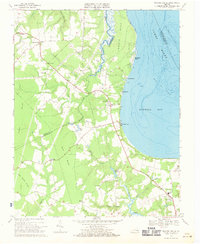
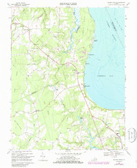
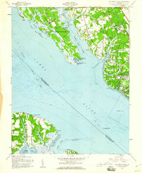
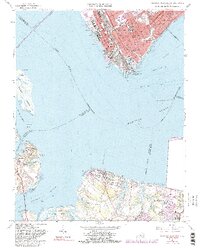
Editions of this 1969 Bacons Castle Map
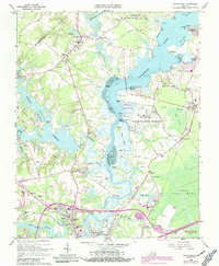
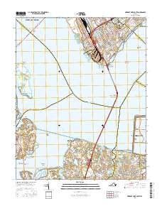
Historical Maps of Rushmere Through Time
57 maps found
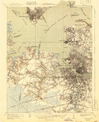
1921 Newport News
Isle of Wight County, VA

1944 Raynor
Isle of Wight County, VA

1944 Zuni
Isle of Wight County, VA

1945 Raynor
Isle of Wight County, VA

1945 Zuni
Isle of Wight County, VA

1948 Bacons Castle
Isle of Wight County, VA

1949 Chuckatuck
Isle of Wight County, VA

1950 Blackstone
Isle of Wight County, VA

1950 Mulberry Island
Isle of Wight County, VA

1951 Blackstone
Isle of Wight County, VA

1952 Newport News
Isle of Wight County, VA

1955 Newport News
Isle of Wight County, VA
1957 Bacons Castle
Isle of Wight County, VA
1957 Mulberry Island
Isle of Wight County, VA
1964 Newport News South
Isle of Wight County, VA
1965 Chuckatuck
Isle of Wight County, VA
1965 Mulberry Island
Isle of Wight County, VA
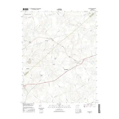
1967 Holland
Isle of Wight County, VA

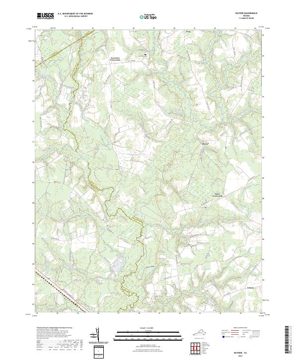
1968 Raynor
Isle of Wight County, VA
1969 Bacons Castle
Isle of Wight County, VA
1969 Zuni
Isle of Wight County, VA

1994 Newport News South
Isle of Wight County, VA
2010 Bacons Castle
Isle of Wight County, VA
2010 Chuckatuck
Isle of Wight County, VA
2010 Holland
Isle of Wight County, VA
2010 Raynor
Isle of Wight County, VA
2010 Zuni
Isle of Wight County, VA
2011 Mulberry Island
Isle of Wight County, VA
2011 Newport News South
Isle of Wight County, VA
2013 Bacons Castle
Isle of Wight County, VA
2013 Chuckatuck
Isle of Wight County, VA
2013 Holland
Isle of Wight County, VA
2013 Mulberry Island
Isle of Wight County, VA
2013 Newport News South
Isle of Wight County, VA
2013 Raynor
Isle of Wight County, VA
2013 Zuni
Isle of Wight County, VA
2016 Bacons Castle
Isle of Wight County, VA
2016 Chuckatuck
Isle of Wight County, VA
2016 Holland
Isle of Wight County, VA
2016 Mulberry Island
Isle of Wight County, VA
2016 Newport News South
Isle of Wight County, VA
2016 Raynor
Isle of Wight County, VA
2016 Zuni
Isle of Wight County, VA
2019 Bacons Castle
Isle of Wight County, VA
2019 Chuckatuck
Isle of Wight County, VA
2019 Holland
Isle of Wight County, VA
2019 Mulberry Island
Isle of Wight County, VA
2019 Newport News South
Isle of Wight County, VA
2019 Raynor
Isle of Wight County, VA
2019 Zuni
Isle of Wight County, VA
2022 Bacons Castle
Isle of Wight County, VA
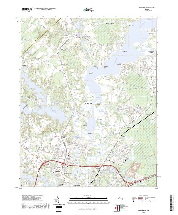
2022 Chuckatuck
Isle of Wight County, VA
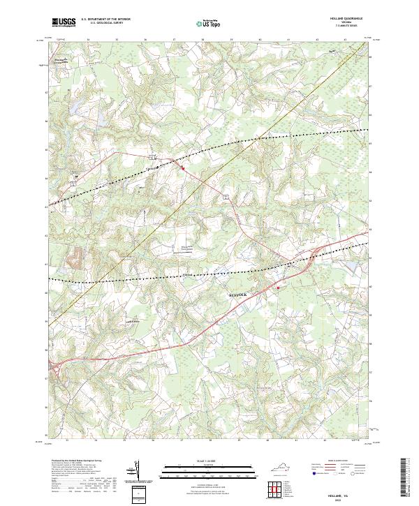
2022 Holland
Isle of Wight County, VA
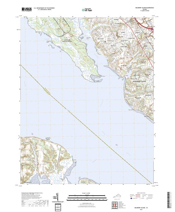
2022 Mulberry Island
Isle of Wight County, VA
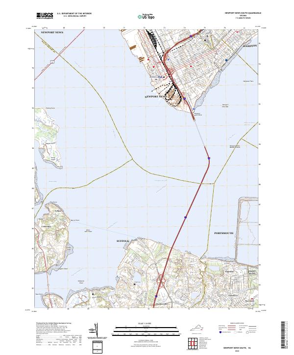
2022 Newport News South
Isle of Wight County, VA
2022 Raynor
Isle of Wight County, VA

2022 Zuni
Isle of Wight County, VA