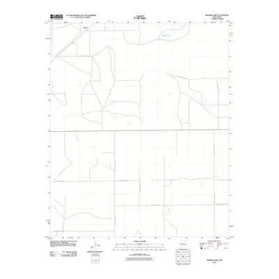
2010 Map of Badger Lake
USGS Topo · Published 2010About this map
Kermit sits near the northwestern corner of this High Plains landscape, situated along the primary thoroughfare in a region defined by its vast, open agricultural and grazing land. The area is marked by numerous ephemeral basins, most notably Badger Lake, which provide critical drainage points in this semiarid environment. This 2010 survey illustrates a highly organized grid of rural infrastructure, with roads such as S Roosevelt Road 20 and S Roosevelt Road 24 segmenting the territory into large parcels. The pattern of development here reflects the enduring reliance on a systematic road network to connect remote settlements and ranching operations across Roosevelt County. Researchers can trace the layout of these numbered routes, including S Roosevelt Road AC and S Roosevelt Road AF, which form the backbone of local transit and land management.
Find a feature on this map
9 named features on this map. Tap any name to fly to it.
Don’t see what you’re looking for? This feature index may not catch every label — zoom into the map to look around manually.
Map Details
Editions of this 2010 Badger Lake Map
This is the sole edition of this map. No revisions or reprints were ever made.
Other maps of this area

1954 · Clovis
USGS Topo · 1:250,000

1954 · Brownfield
USGS Topo · 1:250,000

1957 · Portales
USGS Topo · 1:62,500

1958 · Brownfield
USGS Topo · 1:250,000

1958 · Clovis
USGS Topo · 1:250,000

1962 · Brownfield
USGS Topo · 1:250,000

1972 · Dora NW
USGS Topo · 1:24,000

1972 · Dora SW
USGS Topo · 1:24,000

1973 · Lewiston Lake
USGS Topo · 1:24,000

1973 · Floyd SE
USGS Topo · 1:24,000