
1972 Map of Bagley Lake
USGS Topo · Published 1974About this map
Red Lake Indian Reservation lands dominate this 1972 orthophotomap, revealing a complex landscape of wetlands, dense forest, and numerous glacial lakes. The photogrammetric imagery provides an overhead view of the northern reaches of the Bagley Lake State Wildlife Management Area, where the Sandy River and Big Rock Creek drain toward the southern shore of Lower Red Lake. This specific era captures a sparsely populated region defined by small rural hubs and conservation efforts, seen in the presence of the Big Meadows Lookout Tower and scattered local landmarks. Small settlements like Haggerty and Balm appear alongside spiritual centers such as Faith Chapel and Trinity Ch, offering genealogists and local historians a precise look at the road network and community structures just before the mid-1970s.
Find a feature on this map
37 named features on this map. Tap any name to fly to it.
Don’t see what you’re looking for? This feature index may not catch every label — zoom into the map to look around manually.
Map Details
Editions of this 1972 Bagley Lake Map
This is the sole edition of this map. No revisions or reprints were ever made.
Other maps of this area

1919 · Solway
USGS Topo · 1:62,500

1919 · Churnes
USGS Topo · 1:62,500

1943 · Solway
USGS Topo · 1:62,500

1943 · Bagley
USGS Topo · 1:62,500

1954 · Bemidji
USGS Topo · 1:250,000

1957 · Bemidji
USGS Topo · 1:250,000

1958 · Bemidji
USGS Topo · 1:250,000

1969 · Leonard
USGS Topo · 1:24,000
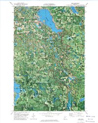
1972 · Debs
USGS Topo · 1:24,000
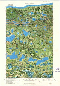
1972 · Red Lake
USGS Topo · 1:24,000