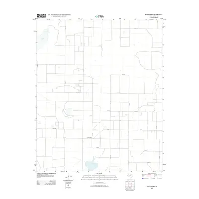
2012 Map of Baileyboro
USGS Topo · Published 2012About this map
Baileyboro sits at the junction of Co RD-128 and Fm-298 in this High Plains region of West Texas. The landscape is defined by its characteristic playa lakes and a rigid grid of rural county roads that facilitate the local agricultural economy. To the south lies the namesake Baileyboro Lake, while the larger Coyote Lake occupies the northwestern portion of the map. These ephemeral water bodies provide critical geographical orientation in an otherwise flat, rectilinear terrain. The 2012 survey illustrates a sparse settlement pattern dominated by the central hub of Baileyboro, with roads like Co RD-1133 and Co RD-1170 providing the primary transit network for the surrounding ranchlands.
Find a feature on this map
24 named features on this map. Tap any name to fly to it.
Don’t see what you’re looking for? This feature index may not catch every label — zoom into the map to look around manually.
Map Details
Editions of this 2012 Baileyboro Map
This is the sole edition of this map. No revisions or reprints were ever made.
Other maps of this area

1954 · Clovis
USGS Topo · 1:250,000

1954 · Brownfield
USGS Topo · 1:250,000

1958 · Brownfield
USGS Topo · 1:250,000

1958 · Clovis
USGS Topo · 1:250,000

1962 · Brownfield
USGS Topo · 1:250,000

1962 · Muleshoe
USGS Topo · 1:24,000

1962 · Needmore
USGS Topo · 1:24,000

1962 · Stegall
USGS Topo · 1:24,000

1962 · Birdwell Ranch
USGS Topo · 1:24,000

1962 · Baileyboro NE
USGS Topo · 1:24,000