1915 Map of Bainbridge
USGS Topo · Published 1963About this map
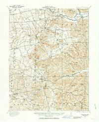
Serpent Mound stands as a primary landmark in the southern reaches of this landscape, reflecting the deep pre-settlement history of the region. This 1915 survey captures a highly fragmented rural society defined by dozens of local institutions, from Willow Grove School to the Cedar Chapel School. The rugged terrain of Starr Mountain and Irons Mountain dictated the placement of early industry, with water-powered sites like McCoppin Mill and Beaver Mill situated along the winding branches of Rocky Fork and its tributaries.
Find a feature on this map
123 named features on this map. Tap any name to fly to it.
Don’t see what you’re looking for? This feature index may not catch every label — zoom into the map to look around manually.
Map Details
Editions of this 1915 Bainbridge Map
2 editions found
Historical Maps of Bainbridge Through Time
26 maps found
1915 Bainbridge
Highland County, OH
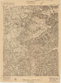
1917 Bainbridge
Highland County, OH
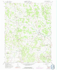
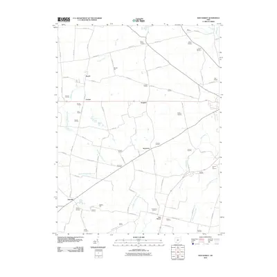
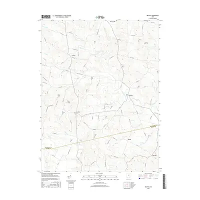
1960 New Market
Highland County, OH
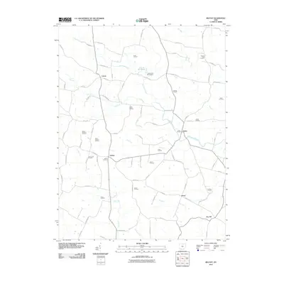
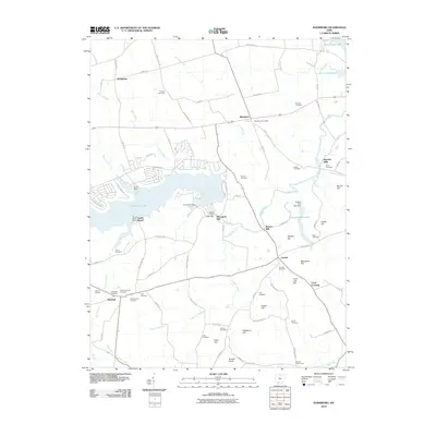
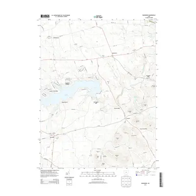
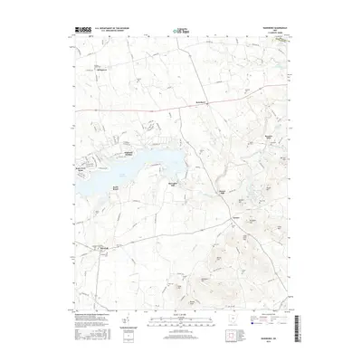
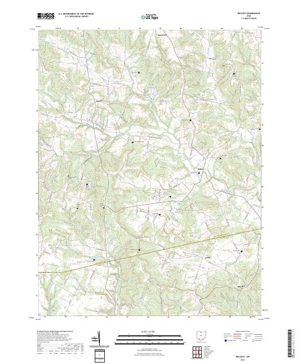
1961 Belfast
Highland County, OH
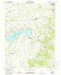
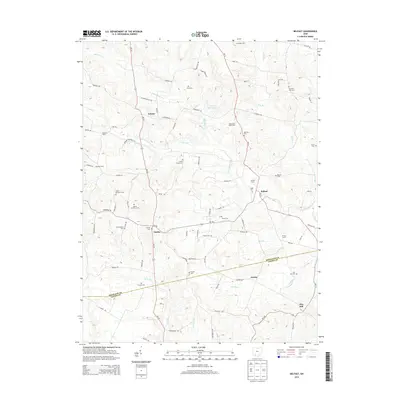
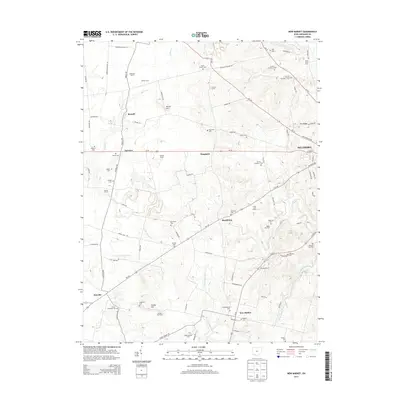
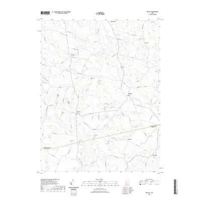
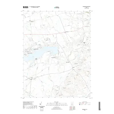
1961 Rainsboro
Highland County, OH
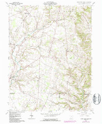
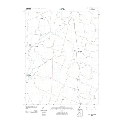
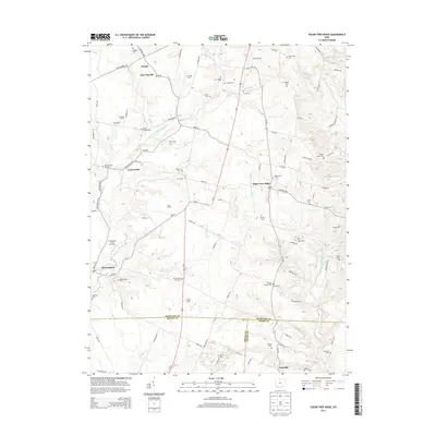
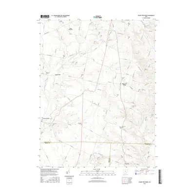
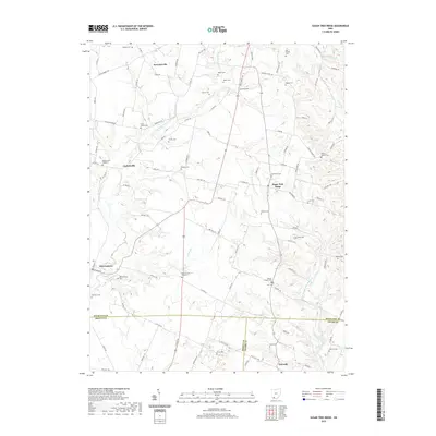
1961 Sugar Tree Ridge
Highland County, OH
2010 Belfast
Highland County, OH
2010 New Market
Highland County, OH
2010 Rainsboro
Highland County, OH
2010 Sugar Tree Ridge
Highland County, OH
2013 Belfast
Highland County, OH
2013 New Market
Highland County, OH
2013 Rainsboro
Highland County, OH
2013 Sugar Tree Ridge
Highland County, OH
2016 Belfast
Highland County, OH
2016 New Market
Highland County, OH
2016 Rainsboro
Highland County, OH
2016 Sugar Tree Ridge
Highland County, OH
2019 Belfast
Highland County, OH
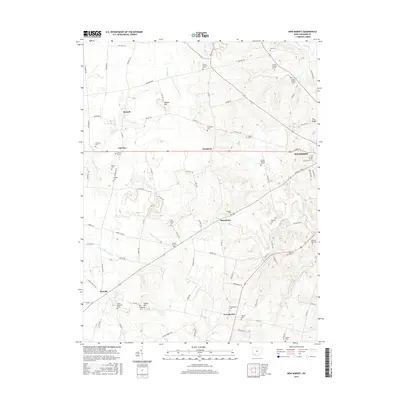
2019 New Market
Highland County, OH
2019 Rainsboro
Highland County, OH
2019 Sugar Tree Ridge
Highland County, OH
2023 Belfast
Highland County, OH
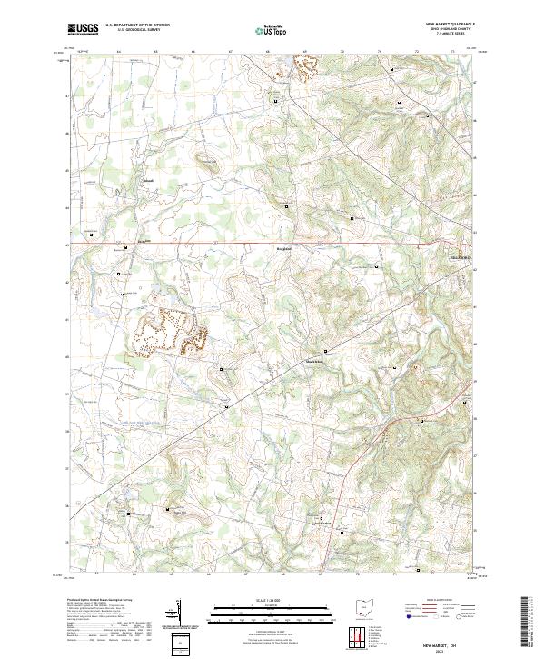
2023 New Market
Highland County, OH
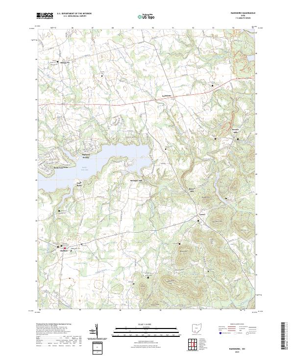
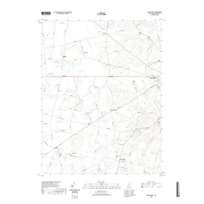
2023 Rainsboro
Highland County, OH
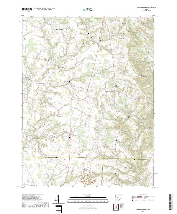
2023 Sugar Tree Ridge
Highland County, OH