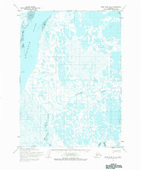
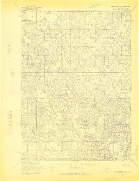
1954 Map of Baird Inlet B-1
USGS Topo · Published 1983About this map
The Kuskokwim River dominates the western edge of this Alaskan landscape, where the shifting hydrology of the Yukon-Kuskokwim Delta is recorded in intricate detail. The map highlights the complex drainage system of the Eenayarak River and its meandering path through a low-lying terrain of lakes and Tidal Flats. At the northern edge, the small settlement of Victor sits near the riverbanks, representing a isolated outpost in an era when seasonal movement was critical for survival. To the south, the Eek River flows past a prominent Bluff, offering a rare point of elevation in a region defined by its vast aquatic network. Traces of human passage are visible in the form of the Winter Trail, a vital transport corridor used when the marshy ground and waterways were frozen, connecting remote points across the delta before the expansion of modern aviation infrastructure.
Find a feature on this map
7 named features on this map. Tap any name to fly to it.
Don’t see what you’re looking for? This feature index may not catch every label — zoom into the map to look around manually.
Map Details
Editions of this 1954 Baird Inlet B-1 Map
2 editions found
Other maps of this area

1950 · Bethel
USGS Topo · 1:250,000

1951 · Baird Inlet
USGS Topo · 1:250,000

1954 · Bethel B-8
USGS Topo · 1:63,360

1954 · Bethel C-8
USGS Topo · 1:63,360
1954 · Bethel A-8
USGS Topo · 1:63,360

1954 · Baird Inlet
USGS Topo · 1:250,000

1954 · Baird Inlet B-1
USGS Topo · 1:63,360
1954 · Baird Inlet A-1
USGS Topo · 1:63,360
1954 · Baird Inlet C-1
USGS Topo · 1:63,360
1954 · Baird Inlet C-2
USGS Topo · 1:63,360