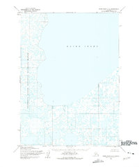
1953 Map of Baird Inlet C-5
USGS Topo · Published 1975About this map
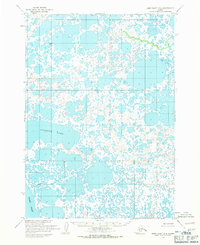
Baird Inlet dominates this coastal landscape, a vast water body in western Alaska mapped during the early 1950s. The shoreline and surrounding wetlands are defined by the Clarence Rhode National Wildlife Range, reflecting a period of significant federal conservation efforts in the territory before statehood. The terrain is characterized by a complex network of small ponds and tundra waterways, emphasizing the trackless, roadless nature of the region during this survey. Mapped using photogrammetric methods from 1952 aerial photography, the sheet preserves the natural hydrology of the Seward Meridian before later administrative changes. This topographical study provides a precise record of the inlet’s complex northern and southern shores, where the land meets the water in a intricate maze of unnamed coastal features.
Find a feature on this map
2 named features on this map. Tap any name to fly to it.
Don’t see what you’re looking for? This feature index may not catch every label — zoom into the map to look around manually.
Map Details
Editions of this 1953 Baird Inlet C-5 Map
2 editions found
Other maps of this area

1951 · Baird Inlet
USGS Topo · 1:250,000
1953 · Baird Inlet C-5
USGS Topo · 1:63,360

1953 · Baird Inlet D-5
USGS Topo · 1:63,360
1953 · Baird Inlet C-6
USGS Topo · 1:63,360

1953 · Baird Inlet B-5
USGS Topo · 1:63,360

1954 · Baird Inlet D-6
USGS Topo · 1:63,360

1954 · Baird Inlet
USGS Topo · 1:250,000
1954 · Baird Inlet C-4
USGS Topo · 1:63,360

1954 · Baird Inlet B-6
USGS Topo · 1:63,360
1954 · Baird Inlet D-4
USGS Topo · 1:63,360