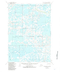
1954 Map of Baird Inlet D-4
USGS Topo · Published 1985About this map
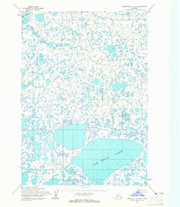
Yukon Delta National Wildlife Refuge defines this intricate aquatic landscape, where land and water merge into a dense network of ponds and channels. Centered on the expanse of Kagaluk Lake, the terrain consists of countless small, unnamed water bodies that dominate the coastal tundra. The southern portion of the sheet opens into Baird Inlet, showing the complex shoreline as it appeared during the mid-1950s. Surveyed via photogrammetric methods from 1952 aerial photography, the map reveals a wilderness devoid of human settlements or infrastructure, illustrating the undisturbed state of this subarctic ecosystem. The transition between the low-lying wetlands and the tidal waters of the inlet highlights the delicate hydrology of the Yukon-Kuskokwim Delta region.
Find a feature on this map
3 named features on this map. Tap any name to fly to it.
Don’t see what you’re looking for? This feature index may not catch every label — zoom into the map to look around manually.
Map Details
Editions of this 1954 Baird Inlet D-4 Map
2 editions found
Other maps of this area

1951 · Marshall
USGS Topo · 1:250,000

1951 · Baird Inlet
USGS Topo · 1:250,000
1953 · Marshall A-5
USGS Topo · 1:63,360
1953 · Baird Inlet C-5
USGS Topo · 1:63,360

1953 · Baird Inlet D-5
USGS Topo · 1:63,360

1954 · Marshall A-3
USGS Topo · 1:63,360
1954 · Marshall A-4
USGS Topo · 1:63,360

1954 · Marshall
USGS Topo · 1:250,000

1954 · Baird Inlet
USGS Topo · 1:250,000
1954 · Baird Inlet C-4
USGS Topo · 1:63,360