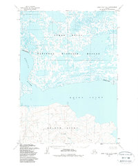
1954 Map of Baird Inlet D-7
USGS Topo · Published 1988About this map
Nelson Island and the surrounding coastal waters dominate this mid-century topographic study of the Alaska coastline. The landscape is characterized by the intricate waterways of the Yukon Delta National Wildlife Refuge, where the broad Baird Inlet meets the mainland. On the island's southern reaches, the small settlement of Chakchak sits near the mouth of Chakchak Creek, providing a rare point of human habitation in this delta environment. The northern portion of the map is a complex network of thousands of small lakes and ponds typical of the wet tundra, bounded by the Ninglick River. This 1954 annotation, later updated with modern refuge boundaries, captures the isolation of the Bering Sea coast before significant modern development, emphasizing the natural drainages and the traditional location of indigenous coastal sites.
Find a feature on this map
7 named features on this map. Tap any name to fly to it.
Don’t see what you’re looking for? This feature index may not catch every label — zoom into the map to look around manually.
Map Details
Editions of this 1954 Baird Inlet D-7 Map
2 editions found
Other maps of this area

1951 · Marshall
USGS Topo · 1:250,000

1951 · Baird Inlet
USGS Topo · 1:250,000
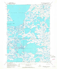
1953 · Baird Inlet C-6
USGS Topo · 1:63,360

1954 · Baird Inlet D-6
USGS Topo · 1:63,360
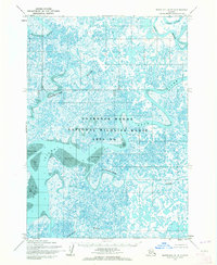
1954 · Marshall A-8
USGS Topo · 1:63,360

1954 · Marshall A-6
USGS Topo · 1:63,360
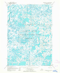
1954 · Marshall A-7
USGS Topo · 1:63,360

1954 · Baird Inlet C-7
USGS Topo · 1:63,360

1954 · Baird Inlet D-7
USGS Topo · 1:63,360

1954 · Marshall
USGS Topo · 1:250,000