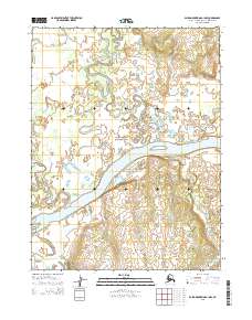
2015 Map of Baird Mountains A-1 NW
USGS Topo · Published 2015About this map
Kobuk Valley National Park defines this landscape in the northern Arctic, where a complex network of waterways navigates the lowland terrain. The dominant Kobuk River flows broadly across the center of the map, fed by several significant tributaries including the Tutuksuk River and the Kiliguricheark River. The meandering paths of these rivers, particularly the sharp oxbows and intricate channels of the Salmon River in the west and Nigeruk Cr in the southeast, reveal a dynamic alluvial environment. This 2015 survey illustrates a wilderness defined by water, showing the relationship between the primary river corridor and the smaller streams that drain the surrounding basins within the protected park boundaries.
Find a feature on this map
10 named features on this map. Tap any name to fly to it.
Don’t see what you’re looking for? This feature index may not catch every label — zoom into the map to look around manually.
Map Details
Editions of this 2015 Baird Mountains A-1 NW Map
This is the sole edition of this map. No revisions or reprints were ever made.
Other maps of this area

1951 · Baird Mountains
USGS Topo · 1:250,000

1955 · Baird Mountains A-1
USGS Topo · 1:63,360

1955 · Baird Mountains A-2
USGS Topo · 1:63,360

1956 · Baird Mountains
USGS Topo · 1:250,000

1965 · Baird Mountains
USGS Topo · 1:250,000
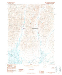
1990 · Baird Mountains B-1
USGS Topo · 1:63,360
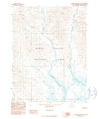
1990 · Baird Mountains B-2
USGS Topo · 1:63,360
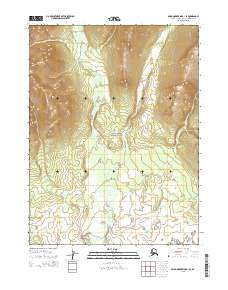
2015 · Baird Mountains B-1 SE
USGS Topo · 1:25,000
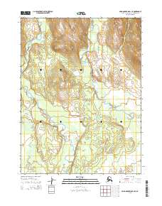
2015 · Baird Mountains B-2 SE
USGS Topo · 1:25,000
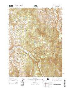
2015 · Baird Mountains A-1 SE
USGS Topo · 1:25,000