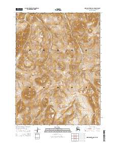
2015 Map of Baird Mountains D-6 SE
USGS Topo · Published 2015About this map
Noatak National Preserve encompasses the majority of this Alaskan wilderness, defined by high-elevation terrain and isolated summits. The southwestern portion of the sheet is dominated by the Kilyaktalik Peaks, where the landscape rises sharply into prominent ridgelines. This 2015 survey illustrates a region devoid of permanent settlements or infrastructure, emphasizing the protected status of the preserve. The mapping of township and range boundaries, including t28n r13w and t27n r14w, provides the primary structural framework for navigating this remote corner of the Noatak National Preserve. The lack of named roads or water bodies highlights the untouched character of the northern Brooks Range foothills during the early 21st century.
Find a feature on this map
8 named features on this map. Tap any name to fly to it.
Don’t see what you’re looking for? This feature index may not catch every label — zoom into the map to look around manually.
Map Details
Editions of this 2015 Baird Mountains D-6 SE Map
This is the sole edition of this map. No revisions or reprints were ever made.
Other maps of this area

1951 · Baird Mountains
USGS Topo · 1:250,000

1955 · Baird Mountains D-6
USGS Topo · 1:63,360

1955 · Baird Mountains D-5
USGS Topo · 1:63,360
1955 · Baird Mountains C-5
USGS Topo · 1:63,360
1955 · Baird Mountains C-6
USGS Topo · 1:63,360

1956 · Baird Mountains
USGS Topo · 1:250,000

1965 · Baird Mountains
USGS Topo · 1:250,000
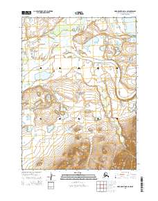
2015 · Baird Mountains D-6 NW
USGS Topo · 1:25,000
2015 · Baird Mountains D-5 SW
USGS Topo · 1:25,000
2015 · Baird Mountains C-6 NE
USGS Topo · 1:25,000