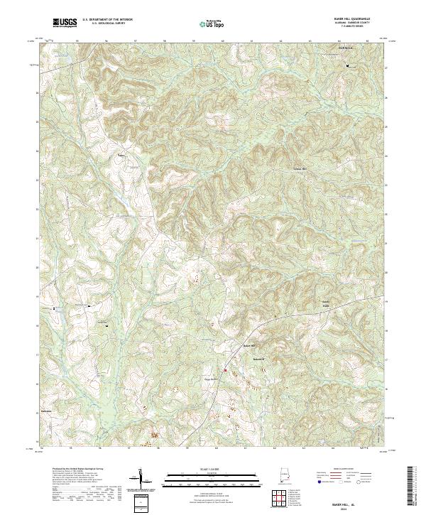
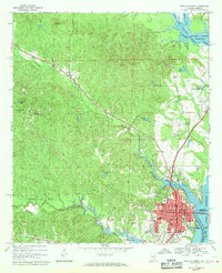
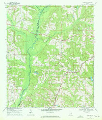
2024 Map of Baker Hill
USGS Topo · Published 2024This historical map portrays the area of Baker Hill in 2024, primarily covering Barbour County. Featuring a scale of 1:24000, this map provides a highly detailed snapshot of the terrain, roads, buildings, counties, and historical landmarks in the Baker Hill region at the time. Published in 2024, it is the sole known edition of this map.
Map Details
Editions of this 2024 Baker Hill Map
This is the sole edition of this map. No revisions or reprints were ever made.
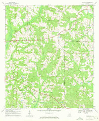
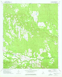
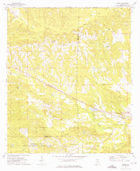
Historical Maps of Barbour County Through Time
27 maps found
1967 Clayton South
Barbour County, AL
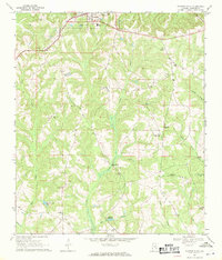
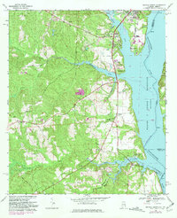
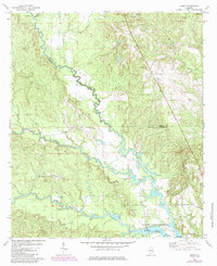
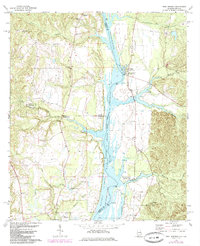
1968 Baker Hill
Barbour County, AL
1968 Clayton North
Barbour County, AL
1968 Eufaula North
Barbour County, AL
1968 Eufaula South
Barbour County, AL
1968 Mount Andrew
Barbour County, AL
1968 White Oak
Barbour County, AL
1969 Elamville
Barbour County, AL
1969 Texasville
Barbour County, AL
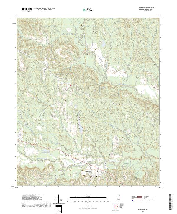
1973 Batesville
Barbour County, AL
1973 Comer
Barbour County, AL
1973 Howe
Barbour County, AL
1973 Twin Springs
Barbour County, AL
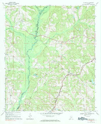
1979 Elamville
Barbour County, AL
2024 Baker Hill
Barbour County, AL
2024 Batesville
Barbour County, AL
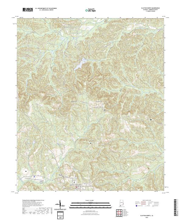
2024 Clayton North
Barbour County, AL
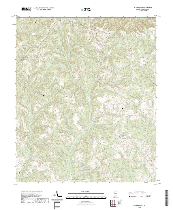
2024 Clayton South
Barbour County, AL
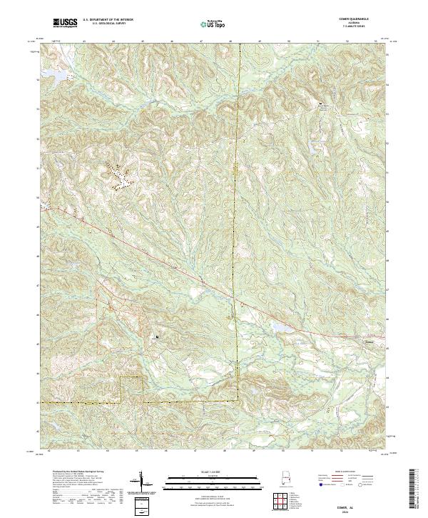
2024 Comer
Barbour County, AL
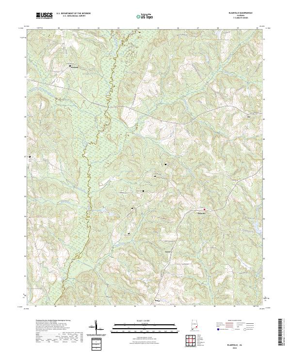
2024 Elamville
Barbour County, AL
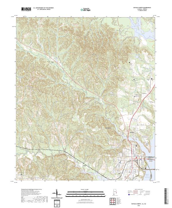
2024 Eufaula North
Barbour County, AL
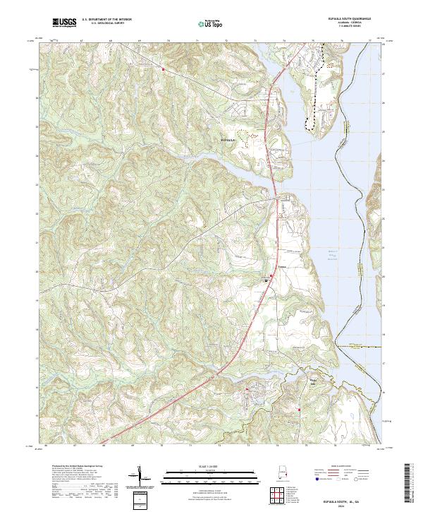
2024 Eufaula South
Barbour County, AL
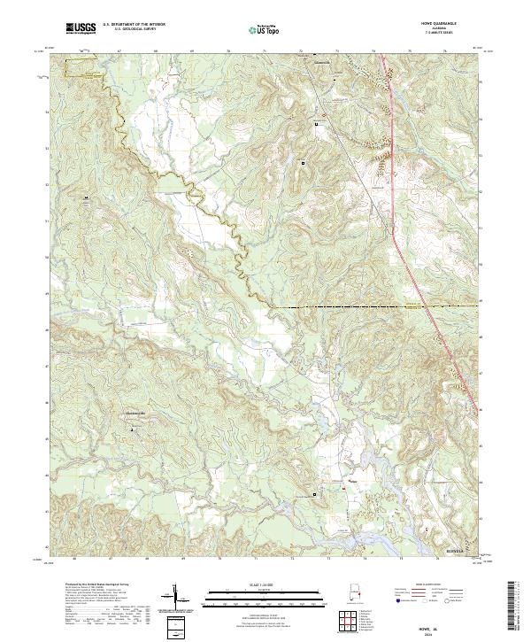
2024 Howe
Barbour County, AL
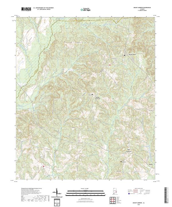
2024 Mount Andrew
Barbour County, AL
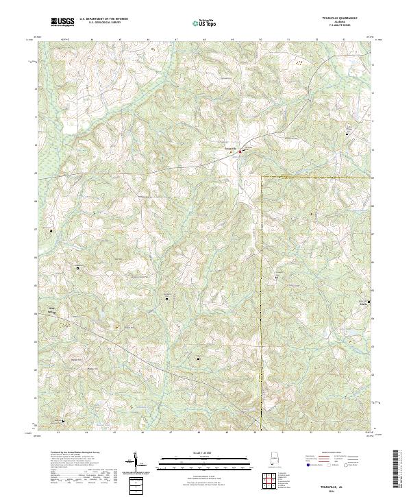
2024 Texasville
Barbour County, AL
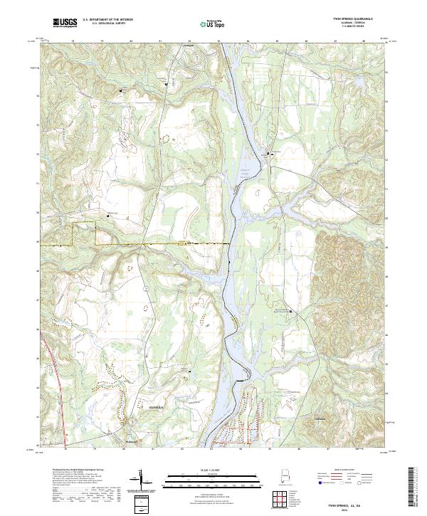
2024 Twin Springs
Barbour County, AL
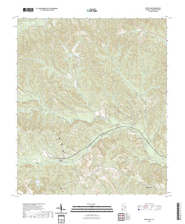
2024 White Oak
Barbour County, AL