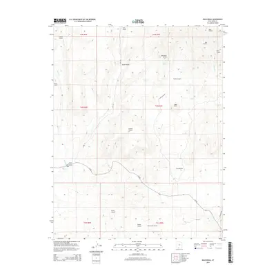
2014 Map of Bald Knoll
USGS Topo · Published 2014About this map
Bald Knoll rises as a prominent landmark in this high-desert landscape of Southern Utah, where the terrain transitions toward the dramatic Skutumpah Terrace in the south. The area is defined by a complex network of seasonal drainages and canyons, including Johnson Canyon and Brown Canyon, which carve through the plateau. Water remains a central theme for the sparse infrastructure here, as evidenced by several named water sources like Elbo Spring, Spaniard Spring, and Fuller Spring. Along Kanab Cr, a small feature known as The Falls breaks the descent through Sink Valley. The map reveals a land utilized for range, with Ford Pasture indicating historical grazing use. Access to this remote corner of Kane County is provided by unpaved routes such as Alton Rd and Skutumpah Rd, which follow the natural contours of the hollows and washes.
Find a feature on this map
36 named features on this map. Tap any name to fly to it.
Don’t see what you’re looking for? This feature index may not catch every label — zoom into the map to look around manually.
Map Details
Editions of this 2014 Bald Knoll Map
This is the sole edition of this map. No revisions or reprints were ever made.
Other maps of this area

1886 · Kanab
USGS Topo · 1:250,000

1953 · Cedar City
USGS Topo · 1:250,000

1954 · Johnson NE
USGS Topo · 1:24,000

1954 · Johnson
USGS Topo · 1:62,500

1957 · Kanab
USGS Topo · 1:62,500

1958 · Cedar City
USGS Topo · 1:250,000

1958 · Orderville
USGS Topo · 1:62,500

1962 · Cedar City
USGS Topo · 1:250,000

1966 · Alton
USGS Topo · 1:24,000

1966 · Bald Knoll
USGS Topo · 1:24,000