
1959 Map of Baldwin
USGS Topo · Published 1960About this map
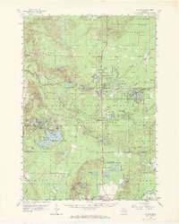
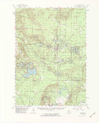
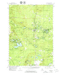
Baldwin serves as the central hub of this Lake County landscape during the late 1950s, a region defined by its dense network of waterways and the Manistee National Forest. The Chesapeake and Ohio Railroad provides the primary industrial spine, connecting the village of Baldwin with outlying settlements like Idlewild and the site of Marlborough. The map documents a recreational and conservation-focused era, evidenced by the Fish Hatchery and numerous fire towers including the Ward Hill Lookout Tower and Wolf Lake Lookout Tower.
Find a feature on this map
114 named features on this map. Tap any name to fly to it.
Don’t see what you’re looking for? This feature index may not catch every label — zoom into the map to look around manually.
Map Details
Editions of this 1959 Baldwin Map
4 editions found
Other maps of this area

1931 · Baldwin NW
USGS Topo · 1:31,680

1931 · Custer NE
USGS Topo · 1:31,680

1931 · Walkerville NE
USGS Topo · 1:31,680

1931 · Baldwin NE
USGS Topo · 1:31,680

1931 · Custer SE
USGS Topo · 1:31,680

1932 · Freesoil SE
USGS Topo · 1:31,680

1932 · Chase NW
USGS Topo · 1:31,680

1933 · Peacock SE
USGS Topo · 1:31,680

1933 · Peacock SW
USGS Topo · 1:31,680

1933 · Luther SW
USGS Topo · 1:31,680